|
search place name
|
||
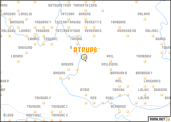
A Trup (1) (Laos)A Trup (1) is a town in Laos. An overview map of the region around A Trup (1) is displayed below.
regional and 3d topo map of A Trup (1), Laos ::
A Trup (1) airports ::
The nearest airport is DAD - Danang Intl, located 150.8 km east of A Trup (1).
Other airports nearby include PKZ - Pakse (178.5 km south west), Nearby towns ::
A Shap (1) (2.6km south west) //
A Shap (2) (2.6km south west) //
A Trup (3) (2.6km north west) //
Tan Koal (2.6km north east) //
A Mour (1) (4.0km south west) //
Ta Rong (4.1km north west) //
Samouay (4.1km north west) //
A Mour (2) (5.1km south west) //
Pril (5.3km east) //
Pril Riông (5.6km east) //
A Sene (5.8km north) //
Ta Riep Ta Tcha (5.8km north) //
Pé Ré Rang (5.8km north) //
Ta Tcha Antour (6.6km north west) //
A Mour (3) (6.5km south west) //
A Tain (7.4km south) //
Sam Touo (7.4km north) //
Pé Ré Ette (7.6km north) //
Trouan (2) (8.0km north west) //
Ban Avahô (8.0km south east) //
Ta Tcha Ché (8.2km north west) //
Ta Tcha Tam Diou (8.2km north west) //
Ban Tay (9.0km south east) //
Pril (9.0km south east) //
Tan Kau (10.3km south east) //
Pó Klang (10.3km north west) //
Tam Boai (1) (10.3km north east) //
[all distances 'as the bird flies' and approximate] 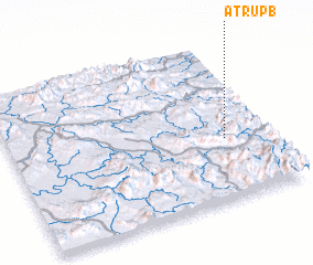 Places with similar names to A Trup (1), Laos :: Disclaimer :: Information on this page comes without warranty of any kind |
||
|
Where is A Trup (1)? Elevation and coordinates ::
Latitude (lat): 16°23'0"N Longitude (lon): 106°50'0"E
Elevation (approx.): 680m (map arrows pan, magnifying glasses zoom) |
||
|
Visiting A Trup (1)? Hotel/Accommodation ::
Book a hotel in A Trup (1) Travel Guide ::
Buy a travel guide for Laos rental cars ::
car rental offers GPS waypoint ::
download a GPX waypoint (PoI) of A Trup (1) for your GPS receiver
|
||