|
search place name
|
||
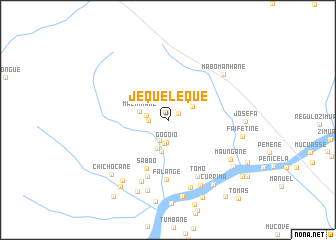
Jequeleque (Sofala, Mozambique)Jequeleque is a town in the Sofala region of Mozambique. An overview map of the region around Jequeleque is displayed below.
regional and 3d topo map of Jequeleque, Mozambique ::
Jequeleque airports ::
The nearest airport is VNX - Vilankulu Vilankulo, located 136.9 km south east of Jequeleque.
Other airports nearby include BEW - Beira (151.7 km north), Nearby towns ::
Maculuge (1.3km north east) //
Macocolo (2.1km west) //
Mezomba (2.3km west) //
Chicolo (2.4km south) //
Gogóio (2.5km south) //
Manuel (2.6km south) //
Malonga (2.9km north east) //
Mazinhane (3.1km west) //
Lepondo (3.4km south) //
Chilile (3.6km south) //
Sabão (5.9km south west) //
Falange (6.7km south) //
Maguanhane (6.6km south) //
Tomo (7.0km south east) //
Augusto (7.5km south) //
Meque (7.9km south) //
Mabomanhane (7.8km north east) //
Amadeu (8.1km south east) //
Mambirrice (8.2km south) //
Maungane (7.9km south east) //
Manguese (8.2km south west) //
Faifetine (8.0km east) //
Josefa (8.1km east) //
Lazau (8.6km south) //
Quissemusse (8.7km south) //
Chichocane (8.5km south west) //
Currima (8.6km south east) //
Coutore (8.5km south east) //
Uchuane (8.9km south west) //
[all distances 'as the bird flies' and approximate] 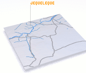 Places with similar names to Jequeleque, Mozambique ::
Disclaimer :: Information on this page comes without warranty of any kind |
||
|
Where is Jequeleque? Elevation and coordinates ::
Latitude (lat): 21°5'36"S Longitude (lon): 34°26'13"E
Elevation (approx.): 59m (map arrows pan, magnifying glasses zoom) |
||
|
Visiting Jequeleque? Hotel/Accommodation ::
Book a hotel in Jequeleque Travel Guide ::
Buy a travel guide for Mozambique rental cars ::
car rental offers GPS waypoint ::
download a GPX waypoint (PoI) of Jequeleque for your GPS receiver
|
||