|
search place name
|
||
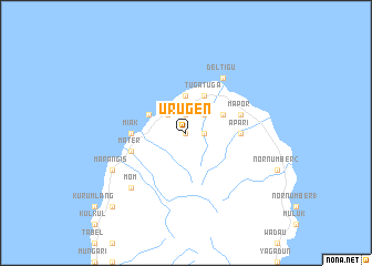
Urugen (Papua New Guinea)Urugen is a town in Papua New Guinea. An overview map of the region around Urugen is displayed below.
regional and 3d topo map of Urugen, Papua New Guinea ::
Urugen airports ::
The nearest airport is MAG - Madang, located 73.5 km south of Urugen.
Other airports nearby include GKA - Goroka (179.2 km south), HGU - Mount Hagen (231.8 km south west), Nearby towns ::
Narer (0.0km north) //
Sangana (1.8km east) //
Urugan (1.8km east) //
Sikentika (1.9km north) //
Dor (2.6km north east) //
Dimer (2.6km north east) //
Urara (2.6km north east) //
Kinim (2.6km north west) //
Dorogodam (2.6km north west) //
Langlang (2.6km north west) //
Bangame (3.7km north) //
Gial (3.7km north) //
Kaul Number 3 (4.1km north east) //
Koropak (4.1km north east) //
Tugatuga (4.1km north east) //
Kaviak (4.1km north west) //
Miak (5.5km west) //
Apari (5.5km east) //
Keng (5.8km west) //
Mater (5.8km west) //
Kaul Number 1 (5.8km east) //
Mapor (5.8km east) //
Kaul Number 2 (5.8km east) //
Deltigu (6.7km north east) //
Mom (7.9km south west) //
Marangis (8.3km south west) //
Kuburne (10.5km south west) //
[all distances 'as the bird flies' and approximate] 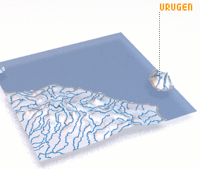 Places with similar names to Urugen, Papua New Guinea ::
// Urgen (AT)
Disclaimer :: Information on this page comes without warranty of any kind |
||
|
Where is Urugen? Elevation and coordinates ::
Latitude (lat): 4°34'0"S Longitude (lon): 145°58'0"E
Elevation (approx.): 287m (map arrows pan, magnifying glasses zoom) |
||
|
Visiting Urugen? Hotel/Accommodation ::
Book a hotel in Urugen Travel Guide ::
rental cars ::
car rental offers GPS waypoint ::
download a GPX waypoint (PoI) of Urugen for your GPS receiver
|
||