|
search place name
|
||
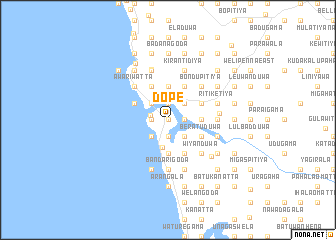
Dope (Southern, Sri Lanka)Dope is a town in the Southern region of Sri Lanka. An overview map of the region around Dope is displayed below.
regional and 3d topo map of Dope, Sri Lanka ::
Dope airports ::
The nearest airport is RML - Colombo Ratmalana, located 47.1 km north of Dope.
Other airports nearby include CMB - Bandaranaike Intl Colombo (85.8 km north), GOY - Galoya Amparai (204.9 km north east), Nearby towns ::
Kommala Wadumulla (0.0km north) //
Suddagoda (0.0km north) //
Kahagalla (0.0km north) //
Bodimaluwa (0.0km north) //
Hungantota Wadumulla (0.0km north) //
Hungantota (0.0km north) //
Arachchimulla (0.0km north) //
Andawala (1.8km east) //
Yattaramulla (1.9km north) //
Warapitiya (1.9km north) //
Hettiwatta (1.9km north) //
Miripenna (1.9km north) //
Kommala (1.9km north) //
Katukoliya (1.9km south) //
Godagala (1.8km west) //
Malalagoda (1.8km west) //
Pitarambe (1.8km west) //
Obadawatta (1.8km west) //
Alawatugoda (1.8km west) //
Pahurumulla (1.8km west) //
Angagoda (1.8km west) //
Surigoda (1.8km west) //
Robolgoda (1.8km west) //
Bentota (2.0km west) //
Meerimulla (2.6km north east) //
Kotapitiya (2.6km north east) //
Hewagama (2.6km south east) //
Haburugala (2.6km south east) //
Piyedda (2.6km south east) //
[all distances 'as the bird flies' and approximate]  Places with similar names to Dope, Sri Lanka ::
Disclaimer :: Information on this page comes without warranty of any kind |
||
|
Where is Dope? Elevation and coordinates ::
Latitude (lat): 6°25'0"N Longitude (lon): 80°1'0"E
Elevation (approx.): 7m (map arrows pan, magnifying glasses zoom) |
||
|
Visiting Dope? Hotel/Accommodation ::
Book a hotel in Dope Travel Guide ::
Buy a travel guide for Sri Lanka rental cars ::
car rental offers GPS waypoint ::
download a GPX waypoint (PoI) of Dope for your GPS receiver
|
||