|
search place name
|
||
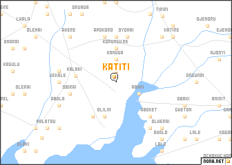
Katiti (Busoga, Uganda)Katiti is a town in the Busoga region of Uganda. An overview map of the region around Katiti is displayed below.
regional and 3d topo map of Katiti, Uganda ::
Katiti airports ::
The nearest airport is SRT - Soroti, located 25.5 km east of Katiti.
Other airports nearby include KTL - Kitale (195.3 km south east), EBB - Entebbe Intl (220.0 km south west), KIS - Kisumu (254.2 km south east), EDL - Eldoret Intl (255.2 km south east), Nearby towns ::
Opiai (1.9km north) //
Kamuda (3.7km north) //
Abari (4.1km south east) //
Kopungure (5.6km north) //
Olilim (5.9km south) //
Kalaki (6.6km west) //
Ocherakori (6.7km south west) //
Kalobo (7.4km north) //
Obirai (7.6km west) //
Olianai (7.6km north) //
Oyomai (7.6km north) //
Apokoro (7.6km north) //
Aboket (7.9km south east) //
Odina (9.3km south east) //
Olwerai (10.5km south east) //
Anyidinyid (10.5km north west) //
Aputon (10.5km north east) //
Akere (10.5km north west) //
[all distances 'as the bird flies' and approximate] 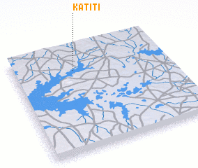 Places with similar names to Katiti, Uganda ::
Disclaimer :: Information on this page comes without warranty of any kind |
||
|
Where is Katiti? Elevation and coordinates ::
Latitude (lat): 1°47'0"N Longitude (lon): 33°24'0"E
Elevation (approx.): 1058m (map arrows pan, magnifying glasses zoom) |
||
|
Visiting Katiti? Hotel/Accommodation ::
Book a hotel in Katiti Travel Guide ::
Buy a travel guide for Uganda rental cars ::
car rental offers GPS waypoint ::
download a GPX waypoint (PoI) of Katiti for your GPS receiver
|
||