|
search place name
|
||
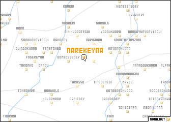
Naré Keyna (Dosso, Niger)Naré Keyna is a town in the Dosso region of Niger. An overview map of the region around Naré Keyna is displayed below.
regional and 3d topo map of Naré Keyna, Niger ::
Naré Keyna airports ::
The nearest airport is NIM - Niamey Diori Hamani, located 137.8 km west of Naré Keyna.
Other airports nearby include SKO - Sokoto Sadiq Abubakar Iii Intl (197.3 km east), THZ - Tahoua (280.1 km north east), Nearby towns ::
Naré Béri (1.8km east) //
Dombossédey (3.6km west) //
Bariguiko (4.1km north east) //
Koro Kourinyé Dey (5.7km east) //
Torosso (5.8km south) //
Niki Kwara Tégui (5.8km north) //
Tinédènédi (6.6km south east) //
Bakodey (6.6km north west) //
Gorou Bankassamé (7.2km east) //
Téré Tombo (7.5km west) //
Mayara Kwara (7.5km east) //
Yarou Kwara (7.8km north east) //
Niki Béri (8.2km north west) //
Diokolé (8.2km north east) //
Chirifi Dey Moussa (9.1km north east) //
Bondiolo (10.3km south west) //
Dandokoy Kwara (10.3km south east) //
Katababa Kwara (10.3km south east) //
[all distances 'as the bird flies' and approximate] 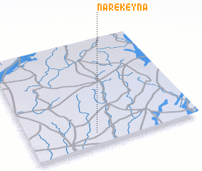 Places with similar names to Naré Keyna, Niger ::
// Nǝrǝcan (AZ)
// Narigan (MM)
// Narganá (PA)
// Narkūnai (LT)
// Narkūnai (LT)
// Narkūnai (LT)
// Narkūnai I (LT)
// Narkūnai II (LT)
// Nereikoniai (LT)
// Noreikoniai (LT)
Disclaimer :: Information on this page comes without warranty of any kind |
||
|
Where is Naré Keyna? Elevation and coordinates ::
Latitude (lat): 13°7'0"N Longitude (lon): 3°24'0"E
Elevation (approx.): 247m (map arrows pan, magnifying glasses zoom) |
||
|
Visiting Naré Keyna? Hotel/Accommodation ::
Book a hotel in Naré Keyna Travel Guide ::
Buy a travel guide for Niger rental cars ::
car rental offers GPS waypoint ::
download a GPX waypoint (PoI) of Naré Keyna for your GPS receiver
|
||