|
search place name
|
||
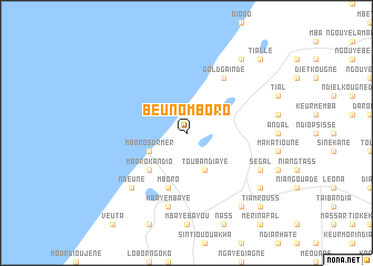
Beuno Mboro (Thiès, Senegal)Beuno Mboro is a town in the Thiès region of Senegal. An overview map of the region around Beuno Mboro is displayed below.
regional and 3d topo map of Beuno Mboro, Senegal ::
Beuno Mboro airports ::
The nearest airport is DKR - Dakar Leopold Sedar Senghor Intl, located 82.8 km south west of Beuno Mboro.
Other airports nearby include XLS - St. Louis Saint Louis (104.4 km north east), KLC - Kaolack (147.0 km south east), BJL - Banjul Intl (207.5 km south), Nearby towns ::
Touba Ndiaye (4.1km south east) //
Mboro-sur-Mer (4.0km south west) //
Mboro Kandio (5.2km south west) //
Mboro (5.8km south) //
Gold Gaïndé (6.6km north east) //
Mbaye Mbaye (7.6km south) //
Ndeune (7.7km south west) //
Ségal (8.1km south east) //
Darou Alem (9.1km south east) //
Peunène (9.2km south east) //
Darou Moye (9.2km south east) //
Fâs Boye (9.2km north east) //
Tiamrouss (10.3km south east) //
Tiallé (10.3km north east) //
[all distances 'as the bird flies' and approximate] 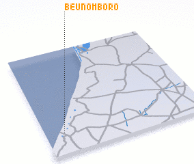 Places with similar names to Beuno Mboro, Senegal ::
// Beni Amar (MA)
// Ben Aomar (MA)
// Binumar (MA)
// Ban Mae Rai (TH)
// Ban Mai Ra (TH)
// Ban Mari (TH)
// Ban Marui (TH)
// Ban Merai (TH)
// Ban Mi Rai (TH)
// Ban Nam Rai (TH)
Disclaimer :: Information on this page comes without warranty of any kind |
||
|
Where is Beuno Mboro? Elevation and coordinates ::
Latitude (lat): 15°12'0"N Longitude (lon): 16°53'0"W
Elevation (approx.): 15m (map arrows pan, magnifying glasses zoom) |
||
|
Visiting Beuno Mboro? Hotel/Accommodation ::
Book a hotel in Beuno Mboro Travel Guide ::
Buy a travel guide for Senegal rental cars ::
car rental offers GPS waypoint ::
download a GPX waypoint (PoI) of Beuno Mboro for your GPS receiver
|
||