|
search place name
|
||
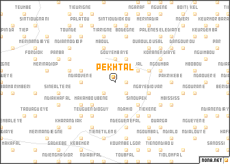
Pekh Tal (Louga, Senegal)Pekh Tal is a town in the Louga region of Senegal. An overview map of the region around Pekh Tal is displayed below.
regional and 3d topo map of Pekh Tal, Senegal ::
Pekh Tal airports ::
The nearest airport is XLS - St. Louis Saint Louis, located 65.0 km north of Pekh Tal.
Other airports nearby include DKR - Dakar Leopold Sedar Senghor Intl (142.1 km south west), KLC - Kaolack (150.8 km south), Nearby towns ::
Gad Brama (1.8km east) //
Keur Markari (2.6km south east) //
Ndiarno Ouadé (2.6km south west) //
Ndièye Séfour (2.6km south west) //
Gouye Mbaye (3.7km north) //
Sival (4.0km north east) //
Keur Bakari Sal (4.1km north east) //
Sinou Pek (5.1km south east) //
Mguène (5.1km south east) //
Maka Mboubène (5.1km south west) //
Ndiaovène (5.4km west) //
Gouye Gal (5.7km east) //
Guéoul (5.7km east) //
Messéré Teug (5.7km west) //
Ngaye Diovar (5.7km east) //
Ndamio (5.8km south) //
Khadji (5.8km south) //
Mboul (5.8km north) //
Gali Ndiang (6.6km south east) //
Teugue Ndioguy (6.6km south west) //
Badar (6.5km south west) //
Bodègne (7.6km north) //
Tiarigne (7.6km north) //
Ngoumba (7.4km east) //
Loyène (7.4km east) //
Darou Diop (7.4km west) //
Ndéguène Fal (7.6km south) //
Tiékène (7.7km south east) //
Diokoul (7.7km south east) //
[all distances 'as the bird flies' and approximate] 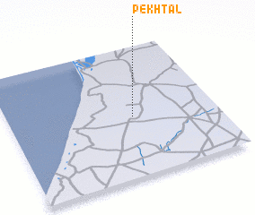 Places with similar names to Pekh Tal, Senegal ::
// Pocatello (US)
// Peckatel (DE)
// Peckatel (DE)
// Poggetello (IT)
// Pigadoúlia (GR)
// Pākdāl (BD)
// Pukdale (ID)
// Puctla (MX)
// Pāy Kotal (IR)
// Pakka Dalla (PK)
Disclaimer :: Information on this page comes without warranty of any kind |
||
|
Where is Pekh Tal? Elevation and coordinates ::
Latitude (lat): 15°28'0"N Longitude (lon): 16°24'0"W
Elevation (approx.): 41m (map arrows pan, magnifying glasses zoom) |
||
|
Visiting Pekh Tal? Hotel/Accommodation ::
Book a hotel in Pekh Tal Travel Guide ::
Buy a travel guide for Senegal rental cars ::
car rental offers GPS waypoint ::
download a GPX waypoint (PoI) of Pekh Tal for your GPS receiver
|
||