|
search place name
|
||
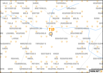
Tip (Diourbel, Senegal)Tip is a town in the Diourbel region of Senegal. An overview map of the region around Tip is displayed below.
regional and 3d topo map of Tip, Senegal ::
Tip airports ::
The nearest airport is KLC - Kaolack, located 61.5 km south of Tip.
Other airports nearby include XLS - St. Louis Saint Louis (166.7 km north west), BJL - Banjul Intl (170.7 km south west), DKR - Dakar Leopold Sedar Senghor Intl (176.8 km west), Nearby towns ::
Tip Diaye (1.9km north) //
Tévè Keur Massé (1.8km west) //
Rmassa (2.6km north east) //
Gniguène (3.7km north) //
Kandi Sada (3.6km west) //
Ourkogne (3.7km south) //
Keur Magat Ba (3.7km south) //
Soukoundou (4.0km south east) //
Diavélé (4.1km north west) //
Bélèl Diabi (4.1km north west) //
Grinièl (5.2km north east) //
Yari Gouye (5.2km south west) //
Kaduyèt (5.6km north) //
Darou Salam (5.7km west) //
Médina (5.8km north) //
Kodiolel (5.7km east) //
Boustane (5.8km north) //
Darou Bamane (5.8km north) //
Ngassaman (6.5km north east) //
Kaduyène (7.4km north) //
Léyène (7.4km north) //
Kayane (7.2km east) //
Diatara (7.6km north) //
Kaèl Bobo (7.4km east) //
Keur Maïgnane (7.6km south) //
Séo Touré (7.6km south) //
Kaïga (7.6km south) //
Ndiagne (7.7km north east) //
Banane (7.7km north west) //
[all distances 'as the bird flies' and approximate] 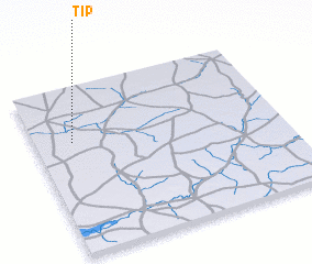 Places with similar names to Tip, Senegal ::
Disclaimer :: Information on this page comes without warranty of any kind |
||
|
Where is Tip? Elevation and coordinates ::
Latitude (lat): 14°40'0"N Longitude (lon): 15°51'0"W
Elevation (approx.): 35m (map arrows pan, magnifying glasses zoom) |
||
|
Visiting Tip? Hotel/Accommodation ::
Book a hotel in Tip Travel Guide ::
Buy a travel guide for Senegal rental cars ::
car rental offers GPS waypoint ::
download a GPX waypoint (PoI) of Tip for your GPS receiver
|
||