|
search place name
|
||
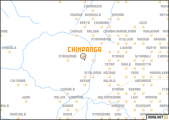
Chimpanga (Eastern, Zambia)Chimpanga is a town in the Eastern region of Zambia. An overview map of the region around Chimpanga is displayed below.
regional and 3d topo map of Chimpanga, Zambia ::
Chimpanga airports ::
The nearest airport is MFU - Mfuwe, located 135.5 km north east of Chimpanga.
Nearby towns ::
Malimula (1.8km east) //
Kasinkula (2.6km north west) //
Nyangombe (3.6km west) //
Nchisya (3.7km south) //
Sitolongo (4.1km south east) //
Mkolama (5.2km north east) //
Nyamphande (5.2km north east) //
Kambando (5.4km east) //
Merwe (5.6km south) //
Chizindilo (5.4km east) //
Chonjo (5.8km north) //
Bimaele (5.7km east) //
Feros Katembo (5.7km east) //
Mpilwe (5.7km east) //
Yotam (5.7km east) //
Malowa (5.8km north) //
Kazowo (6.5km south east) //
Nyamea (7.2km east) //
Mpeta (7.4km north) //
Dick Mtunda (7.4km east) //
Chimbwi (7.7km north east) //
Changa Muzizi (7.7km south east) //
Mpusa (7.7km south east) //
Mulalo (7.7km south east) //
Chikungwa (8.1km north east) //
Kawaza (8.1km north east) //
Chawala (8.2km south west) //
Chiwambo (8.2km north east) //
Chizowe (9.1km north east) //
[all distances 'as the bird flies' and approximate] 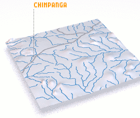 Places with similar names to Chimpanga, Zambia ::
// Chimpunga (ZM)
// Shamapango (ZM)
// Shimapango (PE)
// Chamepango (MZ)
// Shuimoping (CN)
// Chamhpang (MM)
// Champang (MM)
// Champongo (MW)
// Chimpangu (MW)
Disclaimer :: Information on this page comes without warranty of any kind |
||
|
Where is Chimpanga? Elevation and coordinates ::
Latitude (lat): 14°15'0"S Longitude (lon): 31°12'0"E
Elevation (approx.): 1019m (map arrows pan, magnifying glasses zoom) |
||
|
Visiting Chimpanga? Hotel/Accommodation ::
Book a hotel in Chimpanga Travel Guide ::
Buy a travel guide for Zambia rental cars ::
car rental offers GPS waypoint ::
download a GPX waypoint (PoI) of Chimpanga for your GPS receiver
|
||