|
search place name
|
||
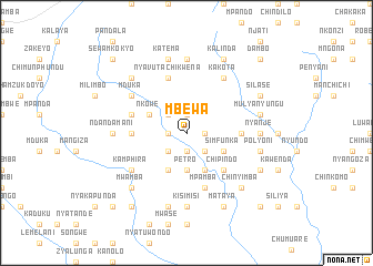
Mbewa (Eastern, Zambia)Mbewa is a town in the Eastern region of Zambia. An overview map of the region around Mbewa is displayed below.
regional and 3d topo map of Mbewa, Zambia ::
Mbewa airports ::
The nearest airport is MFU - Mfuwe, located 128.1 km north of Mbewa.
Other airports nearby include TET - Tete Chingodzi (278.5 km south east), Nearby towns ::
Chiuta (1.8km west) //
Bizeki (1.8km east) //
Chiunda (1.9km north) //
Mzumwa (1.9km south) //
Kapandula (1.9km south) //
Andiseni (2.6km north west) //
Malanda (2.6km south west) //
Chimpeta (2.6km south east) //
Zomba (2.6km south east) //
Petro (3.7km south) //
Chiwanja (3.7km south) //
Kumbuyo (4.1km south west) //
Mpeni (4.1km south east) //
Kapiri (4.1km south east) //
Nkowe (4.0km north west) //
Simfunka (4.0km south east) //
Chipindo (5.2km south east) //
Chimbutu (5.4km east) //
Chibweya (5.4km west) //
Findolo (5.4km west) //
Nyavuta Chikwena (5.8km north) //
Mpamba (5.8km south) //
Chataika (5.7km west) //
Kamphira (6.5km south west) //
Mduka (6.5km north west) //
Kakota (6.6km north east) //
Ndandamani (7.2km west) //
Chilowe (7.2km west) //
Nyanje (7.2km east) //
[all distances 'as the bird flies' and approximate] 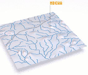 Places with similar names to Mbewa, Zambia ::
Disclaimer :: Information on this page comes without warranty of any kind |
||
|
Where is Mbewa? Elevation and coordinates ::
Latitude (lat): 14°24'0"S Longitude (lon): 31°44'0"E
Elevation (approx.): 1156m (map arrows pan, magnifying glasses zoom) |
||
|
Visiting Mbewa? Hotel/Accommodation ::
Book a hotel in Mbewa Travel Guide ::
Buy a travel guide for Zambia rental cars ::
car rental offers GPS waypoint ::
download a GPX waypoint (PoI) of Mbewa for your GPS receiver
|
||