|
search place name
|
||
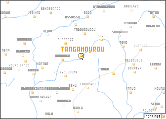
Tangamourou (Cote d'Ivoire)Tangamourou is a town in Cote d'Ivoire. An overview map of the region around Tangamourou is displayed below.
regional and 3d topo map of Tangamourou, Cote d'Ivoire ::
Tangamourou airports ::
The nearest airport is NYI - Sunyani, located 110.7 km south east of Tangamourou.
Other airports nearby include BYK - Bouake (205.4 km west), Nearby towns ::
Kouamédiadoukro (2.4km north east) //
Ahi Bango (4.6km west) //
Amarando (5.4km north west) //
Kouayoukouma (5.5km south west) //
Tanda (5.6km south east) //
Yadougoudou (5.9km north) //
Sépé (6.1km north east) //
Toundiani (6.5km south) //
Téhui (7.1km south) //
Bokoré (7.5km south east) //
Aguinda (8.0km north) //
Assiasso (9.0km north) //
Assoumadougou (9.5km south west) //
Tiédio (9.7km north west) //
Sokoadou (9.8km north east) //
[all distances 'as the bird flies' and approximate] 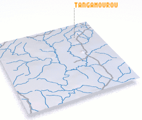 Places with similar names to Tangamourou, Cote d'Ivoire ::
// Dîncu Mare (RO)
// Dîngău Mare (RO)
// Dankumbura (LK)
// Dunkumbura (LK)
// Tennekumbura (LK)
// Tingo María (PE)
// Tangmŏri (KP)
// Tangmoru (KP)
// Tangmoru (KP)
// Tangmoru (KP)
Disclaimer :: Information on this page comes without warranty of any kind |
||
|
Where is Tangamourou? Elevation and coordinates ::
Latitude (lat): 7°50'2"N Longitude (lon): 3°12'50"W
Elevation (approx.): 248m (map arrows pan, magnifying glasses zoom) |
||
|
Visiting Tangamourou? Hotel/Accommodation ::
Book a hotel in Tangamourou Travel Guide ::
rental cars ::
car rental offers GPS waypoint ::
download a GPX waypoint (PoI) of Tangamourou for your GPS receiver
|
||