|
search place name
|
||
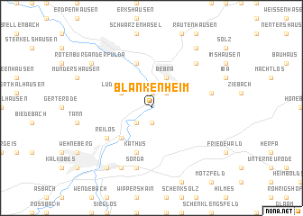
Blankenheim (Hessen, Germany)Blankenheim is a town in the Hessen region of Germany. An overview map of the region around Blankenheim is displayed below.
regional and 3d topo map of Blankenheim, Germany ::
Blankenheim airports ::
The nearest airport is KSF - Kassel Calden, located 60.0 km north west of Blankenheim.
Other airports nearby include ERF - Erfurt (82.7 km east), ZNF - Hanau Aaf (103.0 km south west), PAD - Paderborn Lippstadt (111.2 km north west), FRA - Frankfurt Main (133.9 km south west), Nearby towns ::
Meckbach (1.9km south) //
Breitenbach (1.9km north) //
Mecklar (2.2km south west) //
Weiterode (2.2km north east) //
Lüdersdorf (3.0km north west) //
Bebra (3.9km north) //
Friedlos (4.4km south west) //
Lispenhausen (5.7km north) //
Kathus (5.7km south) //
Reilos (5.1km south west) //
Sorga (7.5km south) //
Ronshausen (5.0km east) //
Gilfershausen (6.6km north east) //
Sölzerhöfe (7.8km south) //
Petersberg (8.2km south west) //
Rotenburg an der Fulda (7.3km north west) //
Braunhausen (8.2km north east) //
[all distances 'as the bird flies' and approximate] 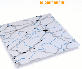 Places with similar names to Blankenheim, Germany ::
Disclaimer :: Information on this page comes without warranty of any kind |
||
|
Where is Blankenheim? Elevation and coordinates ::
Latitude (lat): 50°56'0"N Longitude (lon): 9°47'0"E
Elevation (approx.): 191m (map arrows pan, magnifying glasses zoom) |
||
|
Visiting Blankenheim? Hotel/Accommodation ::
Book a hotel in Blankenheim Travel Guide ::
Buy a travel guide for Germany rental cars ::
car rental offers GPS waypoint ::
download a GPX waypoint (PoI) of Blankenheim for your GPS receiver
|
||