|
search place name
|
||
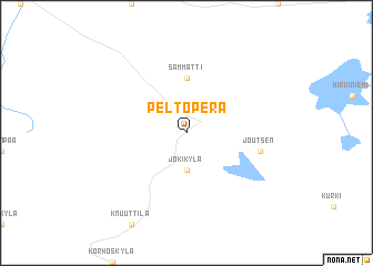
Peltoperä (Länsi-Suomen Lääni, Finland)Peltoperä is a town in the Länsi-Suomen Lääni region of Finland. An overview map of the region around Peltoperä is displayed below.
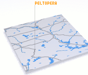
regional and 3d topo map of Peltoperä, Finland ::
Peltoperä airports ::
The nearest airport is KAU - Kauhava, located 89.0 km north of Peltoperä.
Other airports nearby include KEV - Halli (96.3 km south east), TMP - Tampere Pirkkala (104.1 km south), VAA - Vaasa (110.4 km north west), POR - Pori (123.5 km south west), Nearby towns ::
 Places with similar names to Peltoperä, Finland ::
// Paladeperre (ES)
// Pāltāpur (BD)
// Paltipāra (BD)
// Pāltipāra (BD)
// Pahlādpur (IN)
// Pahlādpur (IN)
// Poladpur (IN)
// Pahlūdpur (PK)
// Palādpur (PK)
// Plei Dap Rao (VN)
Disclaimer :: Information on this page comes without warranty of any kind |
||
|
Where is Peltoperä? Elevation and coordinates ::
Latitude (lat): 62°20'0"N Longitude (lon): 23°15'0"E
(map arrows pan, magnifying glasses zoom) |
||
|
Visiting Peltoperä? Hotel/Accommodation ::
Book a hotel in Peltoperä Travel Guide ::
Buy a travel guide for Finland rental cars ::
car rental offers GPS waypoint ::
download a GPX waypoint (PoI) of Peltoperä for your GPS receiver
|
||