|
search place name
|
||
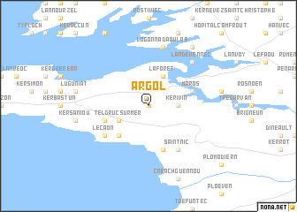
Argol (Bretagne, France)Argol is a town in the Bretagne region of France. An overview map of the region around Argol is displayed below.
regional and 3d topo map of Argol, France ::
Argol airports ::
The nearest airport is BES - Brest Guipavas, located 23.3 km north of Argol.
Other airports nearby include UIP - Quimper Pluguffan (32.5 km south), MXN - Morlaix Ploujean (54.0 km north east), LAI - Lannion (83.9 km north east), LRT - Lorient Lann Bihoue (85.1 km south east), Nearby towns ::
Lanvily (0.0km north) //
Kerivin (2.5km east) //
Telgruc-sur-Mer (3.1km south west) //
La Forêt (3.9km north) //
Rosmadec (4.5km south west) //
Pentrez (5.7km south) //
Maros (4.1km north east) //
Pen-an-guer (4.1km south west) //
Kerthomas (5.2km south west) //
Le Caon (5.2km south west) //
Saint-Nic (6.1km south east) //
Logonna-Daoulas (7.5km north) //
Landévennec (6.7km north east) //
Kerascoet (8.3km north east) //
[all distances 'as the bird flies' and approximate] 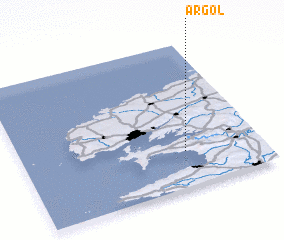 Places with similar names to Argol, France ::
Disclaimer :: Information on this page comes without warranty of any kind |
||
|
Where is Argol? Elevation and coordinates ::
Latitude (lat): 48°15'0"N Longitude (lon): 4°19'0"W
Elevation (approx.): 52m (map arrows pan, magnifying glasses zoom) |
||
|
Visiting Argol? Hotel/Accommodation ::
Book a hotel in Argol Travel Guide ::
Buy a travel guide for France rental cars ::
car rental offers GPS waypoint ::
download a GPX waypoint (PoI) of Argol for your GPS receiver
|
||