|
search place name
|
||
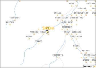
Sireix (Midi-Pyrénées, France)Sireix is a town in the Midi-Pyrénées region of France. An overview map of the region around Sireix is displayed below.
regional and 3d topo map of Sireix, France ::
Sireix airports ::
The nearest airport is LDE - Tarbes Lourdes, located 26.3 km north east of Sireix.
Other airports nearby include PUF - Pau Pyrenees (50.8 km north west), PNA - Pamplona (124.2 km west), BIQ - Biarritz-bayonne Anglet (124.7 km north west), LRH - La Rochelle Lherm (126.7 km north east), Nearby towns ::
Bun (0.0km north) //
Arcizans-Dessus (1.9km north) //
Aucun (1.4km west) //
Arras-en-Lavedan (2.3km north east) //
Gaillagos (3.3km north west) //
Estaing (4.6km south west) //
Marsous (4.1km west) //
Arcizans-Avant (4.5km north east) //
Sère-en-Lavedan (6.2km north east) //
Adast (5.4km east) //
Saint-Savin (5.7km east) //
Arrens (5.7km west) //
Argelès-Gazost (6.9km north east) //
Gez (6.9km north east) //
Ayzac-Ost (6.9km north east) //
Salles (7.9km north) //
Lau-Balagnas (6.6km north east) //
Ouzous (8.5km north east) //
[all distances 'as the bird flies' and approximate] 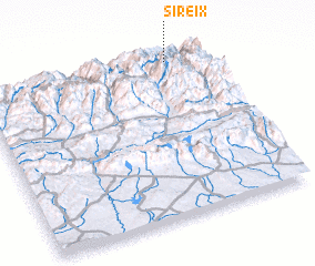 Places with similar names to Sireix, France ::
Disclaimer :: Information on this page comes without warranty of any kind |
||
|
Where is Sireix? Elevation and coordinates ::
Latitude (lat): 42°58'0"N Longitude (lon): 0°9'0"W
Elevation (approx.): 993m (map arrows pan, magnifying glasses zoom) |
||
|
Visiting Sireix? Hotel/Accommodation ::
Book a hotel in Sireix Travel Guide ::
Buy a travel guide for France rental cars ::
car rental offers GPS waypoint ::
download a GPX waypoint (PoI) of Sireix for your GPS receiver
|
||