|
search place name
|
||
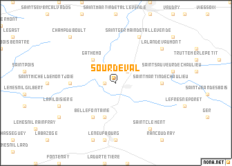
Sourdeval (Basse-Normandie, France)Sourdeval is a town in the Basse-Normandie region of France. An overview map of the region around Sourdeval is displayed below.
regional and 3d topo map of Sourdeval, France ::
Sourdeval airports ::
The nearest airport is CFR - Caen Carpiquet, located 60.4 km north east of Sourdeval.
Other airports nearby include LVA - Laval Entrammes (79.3 km south), DNR - Dinard Pleurtuit (86.0 km west), RNS - Rennes St Jacques (94.7 km south west), DOL - Deauville St Gatien (106.1 km north east), Nearby towns ::
Beauficel (1.2km west) //
Vengeons (2.2km north east) //
Gathemo (4.4km north west) //
Saint-Barthélemy (5.7km south) //
Bellefontaine (6.1km south west) //
Saint-Martin-de-Chaulieu (4.9km east) //
Perriers-en-Beauficel (4.9km west) //
Saint-Germain-de-Tallevende (7.8km north) //
Saint-Clément (8.3km south east) //
La Lande-Vaumont (7.4km north east) //
Champ-du-Boult (8.9km north west) //
[all distances 'as the bird flies' and approximate] 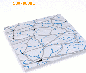 Places with similar names to Sourdeval, France ::
// Serra da Vila (PT)
// Cerutiville (ZA)
// Soradoville (US)
// Sordevolo (IT)
// Surtauville (FR)
// Sortavala (RU)
Disclaimer :: Information on this page comes without warranty of any kind |
||
|
Where is Sourdeval? Elevation and coordinates ::
Latitude (lat): 48°44'0"N Longitude (lon): 0°56'0"W
Elevation (approx.): 270m (map arrows pan, magnifying glasses zoom) |
||
|
Visiting Sourdeval? Hotel/Accommodation ::
Book a hotel in Sourdeval Travel Guide ::
Buy a travel guide for France rental cars ::
car rental offers GPS waypoint ::
download a GPX waypoint (PoI) of Sourdeval for your GPS receiver
|
||