|
search place name
|
||
Ban Chaluai (Buriram, Thailand)Ban Chaluai is a town in the Buriram region of Thailand. An overview map of the region around Ban Chaluai is displayed below.
regional and 3d topo map of Ban Chaluai, Thailand ::

Ban Chaluai airports ::
The nearest airport is NAK - Nakhon Ratchasima Khorat, located 127.2 km west of Ban Chaluai.
Other airports nearby include REP - Siem-reap Siem Reap (213.4 km south), ZVK - Savannakhet (219.5 km north east), SNO - Sakon Nakhon (235.9 km north east), Nearby towns ::
Ban Khok Sawang (2.6km north west) //
Ban Sako Sai (3.6km east) //
Ban Dong Yai Phao (5.8km north) //
Ban Nong Muang (6.5km north east) //
Ban Hua Fai (6.6km north west) //
Ban Na Lao (6.6km south west) //
Ban Khu Khat (7.4km east) //
Ban Ron Thong (7.6km south) //
Ban Dong Yen (8.1km south west) //
Ban Na Kham (9.1km south east) //
Ban Nong Nam Khun (9.2km south east) //
Ban Dong Phlong (9.1km north west) //
[all distances 'as the bird flies' and approximate] 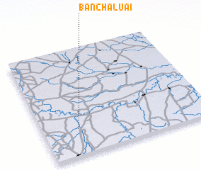 Places with similar names to Ban Chaluai, Thailand ::
// Bonisiolo (IT)
// Ban Cha Lo (TH)
// Ban Chao Lao (TH)
// Ban Cho Lae (TH)
// Ban Cho Lae (TH)
// Ban Na Chaluai (TH)
// Bānsheleh (IR)
// Boncheleh (IR)
// Boones Hill (US)
// Boonshill (US)
Disclaimer :: Information on this page comes without warranty of any kind |
||
|
Where is Ban Chaluai? Elevation and coordinates ::
Latitude (lat): 15°15'0"N Longitude (lon): 103°13'0"E
Elevation (approx.): 150m (map arrows pan, magnifying glasses zoom) |
||
|
Visiting Ban Chaluai? Hotel/Accommodation ::
Book a hotel in Ban Chaluai Travel Guide ::
Buy a travel guide for Thailand rental cars ::
car rental offers GPS waypoint ::
download a GPX waypoint (PoI) of Ban Chaluai for your GPS receiver
|
||