|
search place name
|
||
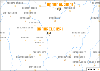
Ban Mae Loi Rai (Thailand)Ban Mae Loi Rai is a town in Thailand. An overview map of the region around Ban Mae Loi Rai is displayed below.
regional and 3d topo map of Ban Mae Loi Rai, Thailand ::
Ban Mae Loi Rai airports ::
The nearest airport is THL - Tachilek Tachileik, located 107.6 km north of Ban Mae Loi Rai.
Other airports nearby include MOG - Mong Hsat (137.3 km north west), LPT - Lampang (148.7 km south), PRH - Phrae (153.9 km south), KET - Kengtung (201.9 km north), Nearby towns ::
Ban Mae Phung (2.5km north west) //
Pa Daet (4.0km south west) //
Ban Mai Tai (5.1km south west) //
Ban Pa Daet (5.6km west) //
Ban Hu Kiang (5.8km north) //
Ban Pa Ngae (6.4km north west) //
Ban San Khong (8.2km south west) //
Ban Cham Kha (10.2km north west) //
Ban Pa Mai Si Luang (10.2km south west) //
Ban Hua Khua (10.2km south east) //
Ban Lo (10.2km south east) //
[all distances 'as the bird flies' and approximate] 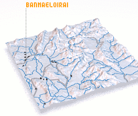 Places with similar names to Ban Mae Loi Rai, Thailand ::
// Ban Mae Loi Rai (TH)
Disclaimer :: Information on this page comes without warranty of any kind |
||
|
Where is Ban Mae Loi Rai? Elevation and coordinates ::
Latitude (lat): 19°31'0"N Longitude (lon): 100°2'0"E
Elevation (approx.): 401m (map arrows pan, magnifying glasses zoom) |
||
|
Visiting Ban Mae Loi Rai? Hotel/Accommodation ::
Book a hotel in Ban Mae Loi Rai Travel Guide ::
Buy a travel guide for Thailand rental cars ::
car rental offers GPS waypoint ::
download a GPX waypoint (PoI) of Ban Mae Loi Rai for your GPS receiver
|
||