|
search place name
|
||
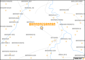
Ban Nong Samran (Ubon Ratchathani, Thailand)Ban Nong Samran is a town in the Ubon Ratchathani region of Thailand. An overview map of the region around Ban Nong Samran is displayed below.
regional and 3d topo map of Ban Nong Samran, Thailand ::
Ban Nong Samran airports ::
The nearest airport is PKZ - Pakse, located 83.5 km east of Ban Nong Samran.
Other airports nearby include ZVK - Savannakhet (180.6 km north), REP - Siem-reap Siem Reap (214.6 km south west), Nearby towns ::
Ban Pa Mong (3.8km north west) //
Ban Pa Wai (5.4km north west) //
Ban Nong Krabu (5.9km south west) //
Ban Pa Mong (5.9km south west) //
Ban Hin Lat Noi (5.9km south west) //
Ban Na Ruang (5.9km south west) //
Ban Talat (6.5km south east) //
Det Udom (6.9km south east) //
Ban Khaem Charoen (7.2km south east) //
Bah Nong Krabu (7.2km north east) //
Ban Hin Lat (7.3km north east) //
Ban Som Sa-at (8.2km east) //
Ban Sao Lao (10.3km north west) //
[all distances 'as the bird flies' and approximate] 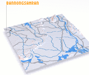 Places with similar names to Ban Nong Samran, Thailand ::
// Ban Nong Samran (TH)
Disclaimer :: Information on this page comes without warranty of any kind |
||
|
Where is Ban Nong Samran? Elevation and coordinates ::
Latitude (lat): 14°56'44"N Longitude (lon): 105°1'44"E
Elevation (approx.): 150m (map arrows pan, magnifying glasses zoom) |
||
|
Visiting Ban Nong Samran? Hotel/Accommodation ::
Book a hotel in Ban Nong Samran Travel Guide ::
Buy a travel guide for Thailand rental cars ::
car rental offers GPS waypoint ::
download a GPX waypoint (PoI) of Ban Nong Samran for your GPS receiver
|
||