|
search place name
|
||
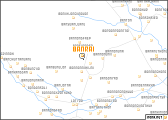
Ban Rai (Nakhon Sawan, Thailand)Ban Rai is a town in the Nakhon Sawan region of Thailand. An overview map of the region around Ban Rai is displayed below.
regional and 3d topo map of Ban Rai, Thailand ::
Ban Rai airports ::
The nearest airport is PHS - Phitsanulok, located 116.0 km north east of Ban Rai.
Other airports nearby include BKK - Bangkok Intl (230.1 km south), LOE - Loei (270.5 km north east), Nearby towns ::
Ban Don Muang (1) (1.5km south east) //
Ban Suan Den (2.3km north) //
Ban Noen Khilek (2.7km south) //
Ban Nong Faep (4.0km north) //
Ban Nong Rai (4.1km south) //
Ban Nong Mi (1) (4.0km east) //
Ban Thung Yai (1) (4.5km south) //
Ban Bung Lom (6.4km south west) //
Ban Nong Mai (6.7km east) //
Ban Don Yao (7.2km south east) //
Ban Suan Luang (7.4km north) //
Ban Lom Tai (8.0km south west) //
Ban Saen Saep Tai (8.9km north east) //
Ban Nong Krathum (3) (10.0km south west) //
Ban Nong Kraduk Nua (10.3km south east) //
Ban Nong Krathum (1) (11.2km south west) //
Ban Nong Nom Wua (11.2km south east) //
Ban Thung Nam Noi (12.1km south west) //
[all distances 'as the bird flies' and approximate] 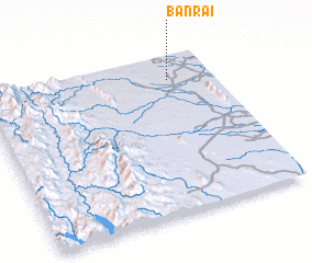 Places with similar names to Ban Rai, Thailand ::
Disclaimer :: Information on this page comes without warranty of any kind |
||
|
Where is Ban Rai? Elevation and coordinates ::
Latitude (lat): 15°50'25"N Longitude (lon): 99°48'16"E
Elevation (approx.): 57m (map arrows pan, magnifying glasses zoom) |
||
|
Visiting Ban Rai? Hotel/Accommodation ::
Book a hotel in Ban Rai Travel Guide ::
Buy a travel guide for Thailand rental cars ::
car rental offers GPS waypoint ::
download a GPX waypoint (PoI) of Ban Rai for your GPS receiver
|
||