|
search place name
|
||
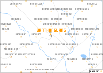
Ban Thong Lang (Maha Sarakham, Thailand)Ban Thong Lang is a town in the Maha Sarakham region of Thailand. An overview map of the region around Ban Thong Lang is displayed below.
regional and 3d topo map of Ban Thong Lang, Thailand ::
Ban Thong Lang airports ::
The nearest airport is SNO - Sakon Nakhon, located 168.5 km north east of Ban Thong Lang.
Other airports nearby include NAK - Nakhon Ratchasima Khorat (169.4 km south west), ZVK - Savannakhet (171.3 km north east), UTH - Udon Thani (175.6 km north), LOE - Loei (242.0 km north west), Nearby towns ::
Ban Dong Yai (NaNkm north) //
Ban Nong Nam Chok (3.7km north) //
Ban Nong Khu Chai (4.1km south east) //
Ban Tamyae (4.0km north west) //
Ban Khok Klang (5.1km south west) //
Ban Khaen (5.3km west) //
Ban Nong Wa (5.8km north) //
Ban Non Yai (6.5km north east) //
Ban Khok Chang (6.6km north west) //
Ban Nong Thum (7.1km east) //
Ban Nong Doen (8.2km south east) //
Wapi Pathum (8.0km south east) //
Ban Ngua Ba (9.1km north east) //
[all distances 'as the bird flies' and approximate] 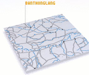 Places with similar names to Ban Thong Lang, Thailand ::
// Ban Thang Luang (TH)
// Ban Thang Luang (TH)
// Ban Thang Luang (TH)
// Ban Thong Lang (TH)
// Ban Thong Lang (TH)
// Ban Thong Lang (TH)
// Ban Thong Lang (TH)
// Ban Thong Lang (TH)
// Ban Thong Lang (TH)
// Ban Thonglang (TH)
Disclaimer :: Information on this page comes without warranty of any kind |
||
|
Where is Ban Thong Lang? Elevation and coordinates ::
Latitude (lat): 15°53'0"N Longitude (lon): 103°19'0"E
Elevation (approx.): 148m (map arrows pan, magnifying glasses zoom) |
||
|
Visiting Ban Thong Lang? Hotel/Accommodation ::
Book a hotel in Ban Thong Lang Travel Guide ::
Buy a travel guide for Thailand rental cars ::
car rental offers GPS waypoint ::
download a GPX waypoint (PoI) of Ban Thong Lang for your GPS receiver
|
||