|
search place name
|
||
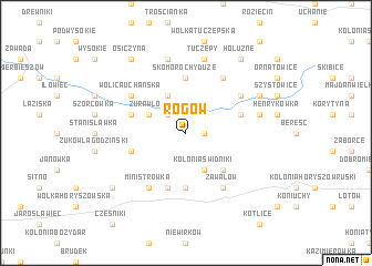
Rogów (Poland)Rogów is a town in Poland. An overview map of the region around Rogów is displayed below.
regional and 3d topo map of Rogów, Poland ::
Rogów airports ::
The nearest airport is LWO - Lvov Lviv Intl, located 114.2 km south of Rogów.
Other airports nearby include RZE - Rzeszow Jasionka (131.2 km south west), Nearby towns ::
Świdniki (1.2km east) //
Szczelatyn (2.2km north west) //
Kolonia Świdniki (3.9km south) //
Skomorochy Małe (3.9km north) //
Żurawlów (3.0km north west) //
Czartoria (4.4km south east) //
Kolonia Miączyn (5.6km south) //
Skomorochy Duże (5.6km north) //
Żuków (4.0km south west) //
Miączyn (5.7km south) //
Cieszyn (4.0km north west) //
Grabowiec Góra (4.0km north east) //
Zawalów (6.0km south east) //
Wolica Uchańska (5.1km north west) //
Grabowiec (5.1km north east) //
Czechówka (6.0km north east) //
Ministrówka (6.0km south west) //
Danczypol (5.0km east) //
Tuczępy (7.5km north) //
Majdan Tuczępski (7.5km north) //
Grabowczyk (6.0km north east) //
Kolonia Horyszów Polski (7.3km south west) //
Kolonia Horyszów (7.3km south west) //
Osiczyna (8.2km north west) //
Hołużne (8.2km north east) //
[all distances 'as the bird flies' and approximate] 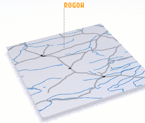 Places with similar names to Rogów, Poland ::
Disclaimer :: Information on this page comes without warranty of any kind |
||
|
Where is Rogów? Elevation and coordinates ::
Latitude (lat): 50°48'0"N Longitude (lon): 23°31'0"E
Elevation (approx.): 214m (map arrows pan, magnifying glasses zoom) |
||
|
Visiting Rogów? Hotel/Accommodation ::
Book a hotel in Rogów Travel Guide ::
Buy a travel guide for Poland rental cars ::
car rental offers GPS waypoint ::
download a GPX waypoint (PoI) of Rogów for your GPS receiver
|
||