|
search place name
|
||
Tričiai (Šiaulių Apskritis, Lithuania)Tričiai is a town in the Šiaulių Apskritis region of Lithuania. An overview map of the region around Tričiai is displayed below.
regional and 3d topo map of Tričiai, Lithuania ::

Nearby towns ::
Šikšniai (1.6km south east) //
Jurgaičiai (2.1km south west) //
Ruponiai (2.1km north west) //
Pagulianka (2.5km west) //
Ūdekai (4.8km north) //
Linkuva (3.9km south west) //
Dvariūkai (4.5km south east) //
Guostagalis (3.4km east) //
Puodžiūnai (6.5km north) //
Gataučiai (5.9km north) //
Titoniai (6.8km south) //
Steigviliai (8.1km north) //
Mikalajūnai (4.7km west) //
Gailioniai (6.9km south east) //
Girbutkiai (8.5km south west) //
Javydoniai (10.0km north east) //
[all distances 'as the bird flies' and approximate] 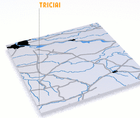 Places with similar names to Tričiai, Lithuania ::
// Tercia (BO)
// Douar Aouaoucha (MA)
// Douar Chaouia (MA)
// Douar Chaouia (MA)
// Douar Chaouia (MA)
// Driouch (MA)
// Tarcha (RU)
// Trosh (RU)
// Trysh (RU)
// Turachi (RU)
Disclaimer :: Information on this page comes without warranty of any kind |
||
|
Where is Tričiai? Elevation and coordinates ::
Latitude (lat): 56°6'40"N Longitude (lon): 24°0'57"E
Elevation (approx.): 64m (map arrows pan, magnifying glasses zoom) |
||
|
Visiting Tričiai? Hotel/Accommodation ::
Book a hotel in Tričiai Travel Guide ::
Buy a travel guide for Lithuania rental cars ::
car rental offers GPS waypoint ::
download a GPX waypoint (PoI) of Tričiai for your GPS receiver
|
||