|
search place name
|
||
Himma (Põlvamaa, Estonia)Himma is a town in the Põlvamaa region of Estonia. An overview map of the region around Himma is displayed below.
regional and 3d topo map of Himma, Estonia ::
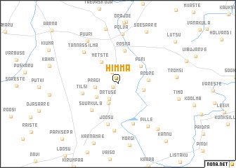
Nearby towns ::
Koiola (0.7km south west) //
Meemaste (1.9km north) //
Ortuse (2.5km south) //
Vana-Koiola (3.1km south) //
Pragi (2.0km west) //
Vardja (2.7km south west) //
Naruski (2.4km south east) //
Metste (3.8km north) //
Peri (3.4km north east) //
Andre (2.7km east) //
Rosma (5.3km north) //
Tilsi (3.3km south west) //
Suurküla (4.7km south west) //
Joosu (6.5km south) //
Lauga (6.5km south) //
Tännassilma (5.8km north west) //
Oleski (7.5km south) //
Põlva (8.0km north) //
Pille (7.2km south) //
Puuri (7.4km north) //
Mammaste (8.8km north) //
Soesaare (8.7km north) //
Tsolgo (7.9km south east) //
Parksepa (9.9km south west) //
[all distances 'as the bird flies' and approximate] 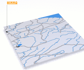 Places with similar names to Himma, Estonia ::
Disclaimer :: Information on this page comes without warranty of any kind |
||
|
Where is Himma? Elevation and coordinates ::
Latitude (lat): 57°59'18"N Longitude (lon): 27°3'45"E
Elevation (approx.): 86m (map arrows pan, magnifying glasses zoom) |
||
|
Visiting Himma? Hotel/Accommodation ::
Book a hotel in Himma Travel Guide ::
Buy a travel guide for Estonia rental cars ::
car rental offers GPS waypoint ::
download a GPX waypoint (PoI) of Himma for your GPS receiver
|
||