|
search place name
|
||
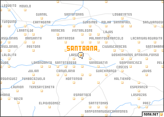
Santa Ana (Cienfuegos, Cuba)Santa Ana is a town in the Cienfuegos region of Cuba. An overview map of the region around Santa Ana is displayed below.
regional and 3d topo map of Santa Ana, Cuba ::
Santa Ana airports ::
The nearest airport is CFG - Cienfuegos Jaime Gonzalez, located 24.9 km south of Santa Ana.
Other airports nearby include SNU - Santa Clara Abel Santamaria (44.1 km east), VRA - Varadero Juan Gualberto Gomez Intl (133.8 km north west), CYO - Cayo Vilo Acuna Intl (148.8 km south west), AVI - Ciego De Avila Maximo Gomez (165.2 km east), Nearby towns ::
San Ramón (1.7km east) //
La Ramona (1.9km south) //
Santa Inés (1.9km south) //
Prosperidad (1.9km south) //
La Esperanza (1.9km south) //
Tranquilidad (1.7km west) //
Larga (1.7km west) //
Tranquilidad (2.5km south west) //
El Pelayo (2.5km south west) //
El Palmar (3.7km north) //
Palma Escuadra Ateje (3.7km south) //
La Lima (3.9km north east) //
Amalia (3.9km north west) //
El Silencio (4.1km north east) //
San Agustín (3.9km south east) //
Santa Teresa (3.9km south west) //
Colonia Adelaida (4.1km south east) //
San Joaquín (5.0km north east) //
Caracas (5.0km north east) //
Santa Rosa (5.0km north west) //
Candelaria (5.0km south west) //
Vista Alegre (5.6km north) //
Salto (5.8km north) //
Caridad (5.8km north) //
Hortensia (5.8km south) //
Mamoncillo (5.5km west) //
Palmarito de Marcelo (6.3km north east) //
El Copey (6.3km north east) //
La Quinta (6.3km north east) //
[all distances 'as the bird flies' and approximate] 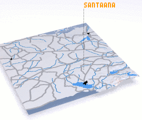 Places with similar names to Santa Ana, Cuba ::
Disclaimer :: Information on this page comes without warranty of any kind |
||
|
Where is Santa Ana? Elevation and coordinates ::
Latitude (lat): 22°22'0"N Longitude (lon): 80°21'0"W
Elevation (approx.): 72m (map arrows pan, magnifying glasses zoom) |
||
|
Visiting Santa Ana? Hotel/Accommodation ::
Book a hotel in Santa Ana Travel Guide ::
Buy a travel guide for Cuba rental cars ::
car rental offers GPS waypoint ::
download a GPX waypoint (PoI) of Santa Ana for your GPS receiver
|
||