|
search place name
|
||
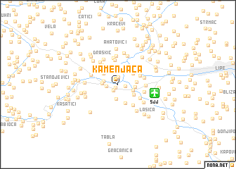
Kamenjača (Federacija Bosne i Hercegovine, Bosnia and Herzegovina)Kamenjača is a town in the Federacija Bosne i Hercegovine region of Bosnia and Herzegovina. An overview map of the region around Kamenjača is displayed below.
regional and 3d topo map of Kamenjača, Bosnia and Herzegovina ::
Kamenjača airports ::
The nearest airport is SJJ - Sarajevo, located 4.4 km east of Kamenjača.
Other airports nearby include OMO - Mostar (70.8 km south west), DBV - Dubrovnik (141.7 km south), SPU - Split (163.1 km west), TIV - Tivat (163.2 km south), Nearby towns ::
Plandište (0.6km south west) //
Vrelo Bosne (1.1km south west) //
Vreoca (0.9km east) //
Osijek (1.2km north) //
Mitrići (1.3km west) //
Dolovi (2.1km north) //
Vruci (2.3km south) //
Blažuj (1.7km west) //
Slivlje (1.9km west) //
Lužani (2.0km south east) //
Ilidža (2.1km east) //
Osenjače (2.4km north west) //
Oteš (2.1km east) //
Doglodi (2.5km north east) //
Bačevo (2.4km south east) //
Crkvine (2.7km north west) //
Stojčevac (3.1km south) //
Bare (2.9km north east) //
Butila (3.8km north) //
Vinogradi (3.6km north west) //
Markovići (3.4km north west) //
Glavogodina (3.7km south east) //
Bare (3.3km south east) //
Bojnik (4.2km north) //
Azići (3.2km east) //
Banja Ilidža (3.2km east) //
Rogačići (3.5km north west) //
Stup (3.2km east) //
Donje Vlakovo (4.0km north west) //
[all distances 'as the bird flies' and approximate] 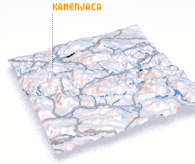 Places with similar names to Kamenjača, Bosnia and Herzegovina ::
Disclaimer :: Information on this page comes without warranty of any kind |
||
|
Where is Kamenjača? Elevation and coordinates ::
Latitude (lat): 43°50'13"N Longitude (lon): 18°16'44"E
Elevation (approx.): 495m (map arrows pan, magnifying glasses zoom) |
||
|
Visiting Kamenjača? Hotel/Accommodation ::
Book a hotel in Kamenjača Travel Guide ::
rental cars ::
car rental offers GPS waypoint ::
download a GPX waypoint (PoI) of Kamenjača for your GPS receiver
|
||