|
search place name
|
||
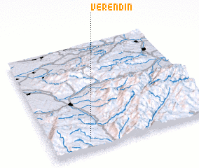
Verendin (Covurlui, Romania)Verendin is a town in the Covurlui region of Romania. An overview map of the region around Verendin is displayed below.
regional and 3d topo map of Verendin, Romania ::

Verendin airports ::
The nearest airport is CSB - Caransebes, located 37.4 km north of Verendin.
Other airports nearby include TSR - Timisoara Traian Vuia (106.9 km north west), ARW - Arad (143.2 km north west), BEG - Beograd (154.7 km west), CRA - Craiova (156.3 km south east), Nearby towns ::
 Places with similar names to Verendin, Romania ::
// Fiorentino (IT)
// Frontin (IT)
// Frandina (PT)
// Frontón (ES)
// Freeneytown (US)
// Fronton (US)
// Frontino (CO)
// Frantin (GH)
// Fiarine Diana (SN)
// Varandān (IR)
Disclaimer :: Information on this page comes without warranty of any kind |
||
|
Where is Verendin? Elevation and coordinates ::
Latitude (lat): 45°5'0"N Longitude (lon): 22°14'0"E
Elevation (approx.): 553m (map arrows pan, magnifying glasses zoom) |
||
|
Visiting Verendin? Hotel/Accommodation ::
Book a hotel in Verendin Travel Guide ::
Buy a travel guide for Romania rental cars ::
car rental offers GPS waypoint ::
download a GPX waypoint (PoI) of Verendin for your GPS receiver
|
||