|
search place name
|
||
Pirömer (Ağrı, Turkey)Pirömer is a town in the Ağrı region of Turkey. An overview map of the region around Pirömer is displayed below.
regional and 3d topo map of Pirömer, Turkey ::

Pirömer airports ::
The nearest airport is VAN - Van, located 80.2 km south of Pirömer.
Other airports nearby include ERZ - Erzurum (180.8 km north west), BAL - Batman (211.5 km south west), Nearby towns ::
Çukurbağ (0.9km south west) //
Derecik (2.9km north east) //
Akdilek (3.6km west) //
Hasandolu (3.9km east) //
Ürküt (5.6km south west) //
Yurtöven (6.6km south) //
Baştarla (6.8km north) //
Gönlüaçık (7.5km south) //
Değirmendüzü (8.0km north) //
Dedeli (8.1km north east) //
Çimenli (9.4km north east) //
Çamurlu (10.7km north west) //
[all distances 'as the bird flies' and approximate] 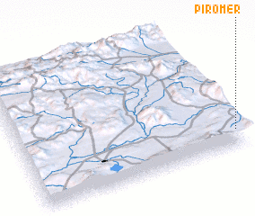 Places with similar names to Pirömer, Turkey ::
// Primor (BR)
// Primor (BR)
// Parramore (US)
// Praia a Mare (IT)
// Péra Meriá (GR)
// Parameira (PT)
// Pîrîu Mare (RO)
// Pîrîu Morii (RO)
// Peramera (ES)
// Prámaro (ES)
Disclaimer :: Information on this page comes without warranty of any kind |
||
|
Where is Pirömer? Elevation and coordinates ::
Latitude (lat): 39°8'22"N Longitude (lon): 42°59'24"E
Elevation (approx.): 1782m (map arrows pan, magnifying glasses zoom) |
||
|
Visiting Pirömer? Hotel/Accommodation ::
Book a hotel in Pirömer Travel Guide ::
Buy a travel guide for Turkey rental cars ::
car rental offers GPS waypoint ::
download a GPX waypoint (PoI) of Pirömer for your GPS receiver
|
||