|
search place name
|
||
El Erijat (Tūnis al Janūbīyah, Tunisia)El Erijat is a town in the Tūnis al Janūbīyah region of Tunisia. An overview map of the region around El Erijat is displayed below.
regional and 3d topo map of El Erijat, Tunisia ::

El Erijat airports ::
The nearest airport is SFA - Sfax Thyna, located 84.3 km south east of El Erijat.
Other airports nearby include MIR - Monastir Habib Bourguiba Intl (101.6 km north east), GAF - Gafsa (128.8 km south west), GAE - Gabes (141.3 km south), DJE - Djerba Zarzis (160.8 km south east), Nearby towns ::
Dar Sialah (2.3km north west) //
Douar Bou Ali (3.6km north east) //
Kāf ar Rāyāt (5.2km south east) //
Ouled Abd er Rahmane (5.8km north west) //
Douar Fellah (6.3km east) //
Dar Mannsour Bou Amara (7.7km north) //
Douar Amor Ben Ramah (6.6km north east) //
El Abadlia (6.5km west) //
Zhani (8.3km south east) //
Laouainiah (7.6km north west) //
Oulad Nasseur (8.2km north west) //
Ouled Zaïr (9.8km north west) //
[all distances 'as the bird flies' and approximate] 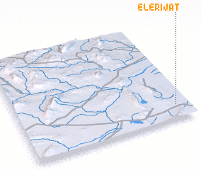 Places with similar names to El Erijat, Tunisia :: Disclaimer :: Information on this page comes without warranty of any kind |
||
|
Where is El Erijat? Elevation and coordinates ::
Latitude (lat): 35°8'33"N Longitude (lon): 9°55'34"E
Elevation (approx.): 168m (map arrows pan, magnifying glasses zoom) |
||
|
Visiting El Erijat? Hotel/Accommodation ::
Book a hotel in El Erijat Travel Guide ::
Buy a travel guide for Tunisia rental cars ::
car rental offers GPS waypoint ::
download a GPX waypoint (PoI) of El Erijat for your GPS receiver
|
||