|
search place name
|
||
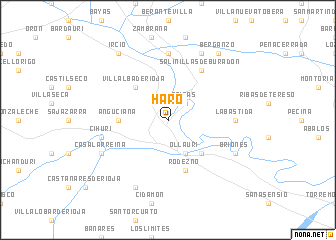
Haro (La Rioja, Spain)Haro is a town in the La Rioja region of Spain. An overview map of the region around Haro is displayed below.
regional and 3d topo map of Haro, Spain ::
Haro airports ::
The nearest airport is VIT - Vitoria, located 34.8 km north of Haro.
Other airports nearby include BIO - Bilbao (79.9 km north), PNA - Pamplona (100.8 km east), EAS - San Sebastian (121.8 km north east), SDR - Santander (122.6 km north west), Nearby towns ::
Briñas (2.3km north east) //
Ollauri (3.9km south) //
Gimileo (4.6km south east) //
Villalba de Rioja (4.6km north west) //
Anguciana (4.1km west) //
Rodezno (5.7km south) //
Salinillas de Buradón (6.2km north east) //
Santa Cruz del Fierro (7.4km north) //
Labastida (5.5km east) //
Cihuri (5.8km west) //
Zarratón (7.9km south) //
Ocio (7.9km north) //
Casalarreina (6.6km south west) //
Briones (6.6km south east) //
Ircio (8.5km north west) //
Berganzo (8.5km north east) //
[all distances 'as the bird flies' and approximate] 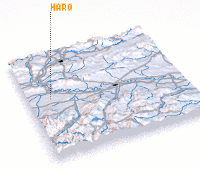 Places with similar names to Haro, Spain ::
Disclaimer :: Information on this page comes without warranty of any kind |
||
|
Where is Haro? Elevation and coordinates ::
Latitude (lat): 42°35'0"N Longitude (lon): 2°51'0"W
Elevation (approx.): 454m (map arrows pan, magnifying glasses zoom) |
||
|
Visiting Haro? Hotel/Accommodation ::
Book a hotel in Haro Travel Guide ::
Buy a travel guide for Spain rental cars ::
car rental offers GPS waypoint ::
download a GPX waypoint (PoI) of Haro for your GPS receiver
|
||