|
search place name
|
||
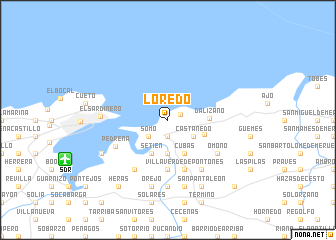
Loredo (Cantabria, Spain)Loredo is a town in the Cantabria region of Spain. An overview map of the region around Loredo is displayed below.
regional and 3d topo map of Loredo, Spain ::
Loredo airports ::
The nearest airport is SDR - Santander, located 9.5 km south west of Loredo.
Other airports nearby include BIO - Bilbao (67.9 km east), VIT - Vitoria (103.5 km south east), EAS - San Sebastian (156.5 km east), VLL - Valladolid (216.6 km south west), Nearby towns ::
Langre (1.2km north east) //
Suesa (1.9km south) //
Somo (2.4km south west) //
Castañedo (2.8km south east) //
El Hoyo (3.7km south) //
Setién (3.9km south) //
Cubas (3.9km south) //
Carriazo (3.4km south east) //
Galizano (3.4km east) //
Agüero (5.6km south) //
Villaverde de Pontones (5.7km south) //
Pedreña (5.2km south west) //
Rubayo (6.2km south west) //
Pontones (6.2km south east) //
Omoño (5.5km south east) //
El Bosque (7.4km south) //
El Sardinero (5.5km west) //
Orejo (7.5km south) //
Puente Agüero (7.5km south) //
Elechas (6.5km south west) //
San Pantaleón (7.9km south) //
Gajano (8.4km south west) //
Heras (8.4km south west) //
Hoz de Anero (9.2km south east) //
Anero (9.2km south east) //
[all distances 'as the bird flies' and approximate] 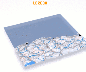 Places with similar names to Loredo, Spain ::
Disclaimer :: Information on this page comes without warranty of any kind |
||
|
Where is Loredo? Elevation and coordinates ::
Latitude (lat): 43°28'0"N Longitude (lon): 3°43'0"W
Elevation (approx.): 13m (map arrows pan, magnifying glasses zoom) |
||
|
Visiting Loredo? Hotel/Accommodation ::
Book a hotel in Loredo Travel Guide ::
Buy a travel guide for Spain rental cars ::
car rental offers GPS waypoint ::
download a GPX waypoint (PoI) of Loredo for your GPS receiver
|
||