|
search place name
|
||
Sabot (Virginia, United States - USA)Sabot is a town in the Virginia region of United States - USA. An overview map of the region around Sabot is displayed below.
regional and 3d topo map of Sabot, United States - USA ::

Sabot airports ::
The nearest airport is RIC - Richmond Intl, located 39.6 km east of Sabot.
Other airports nearby include PHF - Newport News Williamsburg Intl (123.3 km south east), LFI - Hampton Langley Afb (136.2 km south east), NHK - Patuxent River Nas (139.1 km north east), NGU - Norfolk Ns (149.5 km south east), Nearby towns ::
Boscobel (2.1km south east) //
Boscobel Country (2.1km south east) //
Edgehill (2.3km east) //
Subletts (3.1km south) //
Ashwoods (2.7km east) //
Auburn Chase (3.4km north east) //
Manakin Farms (3.1km east) //
Dover Run (3.6km north east) //
Manakin (4.1km east) //
Old Oaks (4.4km north west) //
Broad Run (4.9km north east) //
Crozier (5.1km north west) //
Woods Acres (5.0km east) //
Amber Lake (5.9km north west) //
Goosepoint (5.4km north east) //
Huguenot (5.9km south east) //
River Oaks (5.4km south east) //
Homewood Park (6.4km north east) //
Monacan Hill (5.5km east) //
Hunters Woods (5.8km north west) //
Mount Olive Terrace (6.6km north east) //
Pleasant Green (5.9km west) //
Lee (6.1km west) //
Pembroke (6.4km south east) //
Huguenot Springs (7.2km south east) //
The Forest (6.6km north west) //
Vinita (6.6km south east) //
Fine Creek Mills (6.6km west) //
Hermitage Hamlet (6.9km north east) //
[all distances 'as the bird flies' and approximate] 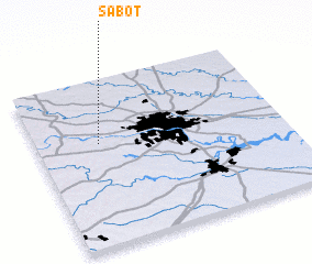 Places with similar names to Sabot, United States - USA ::
Disclaimer :: Information on this page comes without warranty of any kind |
||
|
Where is Sabot? Elevation and coordinates ::
Latitude (lat): 37°36'47"N Longitude (lon): 77°44'50"W
Elevation (approx.): 46m (map arrows pan, magnifying glasses zoom) |
||
|
Visiting Sabot? Hotel/Accommodation ::
Book a hotel in Sabot Travel Guide ::
rental cars ::
car rental offers GPS waypoint ::
download a GPX waypoint (PoI) of Sabot for your GPS receiver
|
||