|
search place name
|
||
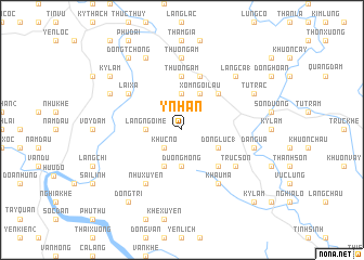
Y Nhân (Vietnam)Y Nhân is a town in Vietnam. An overview map of the region around Y Nhân is displayed below.
regional and 3d topo map of Y Nhân, Vietnam ::
Y Nhân airports ::
The nearest airport is HAN - Hanoi Noibai Intl, located 72.1 km south east of Y Nhân.
Nearby towns ::
Khúc Nô (2.5km south west) //
Ðuông Mông (3.7km south) //
Khôn Tham (3.7km north) //
Ðông Ðương (3.4km west) //
Làng Ngơi Me (3.4km west) //
Ðồng Lục (1) (3.9km south east) //
Ðồng Bằng (4.1km south west) //
Xóm Ngoi Lau (4.1km north east) //
Ðông Mục (4.1km north east) //
Thắng Ngãy (4.1km north east) //
Khau Ma (5.1km south east) //
Dà Năng (5.1km north east) //
Thượng Ấm (5.6km north) //
Ðong He (5.8km north) //
Khau Ma (6.5km south east) //
Trúc Sơn (6.4km south east) //
Lai Xa (6.4km north west) //
Nhu Xuyên (6.5km south west) //
Thượng Ấm (7.4km north) //
Ðồng Van (7.4km north) //
Da Ngua (7.1km east) //
Làng Ca (1) (7.6km north east) //
Tú Trạc (7.8km north east) //
Ðịa Thôn (7.8km north west) //
Làng Youc Xao (8.2km north west) //
Ðồng Tri (9.0km south west) //
Ðong Tchong (9.0km north west) //
Kỳ Lãm (8.9km north west) //
Kỳ Lâm (10.1km south east) //
[all distances 'as the bird flies' and approximate] 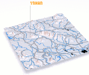 Places with similar names to Y Nhân, Vietnam ::
Disclaimer :: Information on this page comes without warranty of any kind |
||
|
Where is Y Nhân? Elevation and coordinates ::
Latitude (lat): 21°41'0"N Longitude (lon): 105°19'0"E
Elevation (approx.): 84m (map arrows pan, magnifying glasses zoom) |
||
|
Visiting Y Nhân? Hotel/Accommodation ::
Book a hotel in Y Nhân Travel Guide ::
Buy a travel guide for Vietnam rental cars ::
car rental offers GPS waypoint ::
download a GPX waypoint (PoI) of Y Nhân for your GPS receiver
|
||