|
search place name
|
||
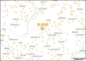
Plešin (Srbija, Serbia and Montenegro)Plešin is a town in the Srbija region of Serbia and Montenegro. An overview map of the region around Plešin is displayed below.
regional and 3d topo map of Plešin, Serbia and Montenegro ::
Plešin airports ::
The nearest airport is PRN - Pristina, located 95.2 km south east of Plešin.
Other airports nearby include INI - Nis (115.3 km east), TGD - Podgorica (142.7 km south west), BEG - Beograd (168.4 km north), TIV - Tivat (171.9 km south west), Nearby towns ::
Perovići (0.7km north east) //
Žari (0.9km south) //
Sinožece (1.1km north west) //
Kučevići (1.1km south east) //
Bušići (1.5km north east) //
Banjska (1.8km south west) //
Tunovo (2.3km south) //
Dvorište (2.0km south east) //
Majdaci (2.0km east) //
Vitos (3.2km south) //
Sase (3.9km north east) //
Kotiljevac (3.4km north east) //
Kaludra (4.0km south east) //
Todorica (4.7km south) //
Brezovica (4.7km south west) //
Paresije (4.5km south east) //
Bukovce (5.5km south) //
Boroviće (4.4km north east) //
Gornja Bekova (5.0km south east) //
Ravni (4.9km north east) //
Ladovići (4.7km north east) //
Ivanje (5.3km north east) //
Tlačina (4.8km east) //
Dramiće (5.9km south west) //
Polokce (6.5km south) //
Vranovina (7.0km south) //
Sebimilje (5.4km south east) //
Donja Bekova (6.4km south east) //
Ðerovici (7.3km north) //
[all distances 'as the bird flies' and approximate] 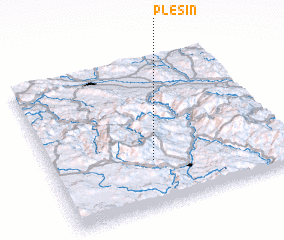 Places with similar names to Plešin, Serbia and Montenegro ::
Disclaimer :: Information on this page comes without warranty of any kind |
||
|
Where is Plešin? Elevation and coordinates ::
Latitude (lat): 43°18'21"N Longitude (lon): 20°25'58"E
Elevation (approx.): 1132m (map arrows pan, magnifying glasses zoom) |
||
|
Visiting Plešin? Hotel/Accommodation ::
Book a hotel in Plešin Travel Guide ::
rental cars ::
car rental offers GPS waypoint ::
download a GPX waypoint (PoI) of Plešin for your GPS receiver
|
||