|
search place name
|
||
Atoasi (Cameroon)Atoasi is a town in Cameroon. An overview map of the region around Atoasi is displayed below.
regional and 3d topo map of Atoasi, Cameroon ::

Atoasi airports ::
The nearest airport is YAO - Yaounde Ville, located 22.8 km west of Atoasi.
Other airports nearby include BMM - Bitam (188.6 km south), DLA - Douala (223.4 km west), FOM - Foumban Nkounja (232.9 km north west), BFX - Bafoussam (247.3 km north west), Nearby towns ::
Eyo (1.9km north) //
Zok (1.8km east) //
Akom (1.9km south) //
Ngang (2.6km south west) //
Zoasi (3.7km east) //
Nkolngoé (3.7km south) //
Dzouzok (4.1km north west) //
Endoum (4.1km south west) //
Ekouméyen (5.9km north) //
Nkil (5.9km north) //
Abembé II (6.7km south west) //
Nkolasi (6.7km south west) //
Abam (7.4km east) //
Adoum (7.4km west) //
Mbaka (7.6km north) //
Akak (7.6km south) //
Abang (8.3km north east) //
Omvan (8.3km north west) //
Ngoum (8.3km north west) //
Bibié (8.3km north west) //
Akoumbou (9.3km north west) //
Bégelé (9.3km north west) //
Efandi (9.3km north east) //
Méven (9.3km north east) //
Mekoé (9.3km north west) //
Obout (10.5km south west) //
[all distances 'as the bird flies' and approximate] 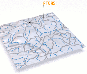 Places with similar names to Atoasi, Cameroon ::
Disclaimer :: Information on this page comes without warranty of any kind |
||
|
Where is Atoasi? Elevation and coordinates ::
Latitude (lat): 3°46'0"N Longitude (lon): 11°43'0"E
Elevation (approx.): 686m (map arrows pan, magnifying glasses zoom) |
||
|
Visiting Atoasi? Hotel/Accommodation ::
Book a hotel in Atoasi Travel Guide ::
Buy a travel guide for Cameroon rental cars ::
car rental offers GPS waypoint ::
download a GPX waypoint (PoI) of Atoasi for your GPS receiver
|
||