|
search place name
|
||
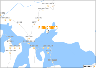
Bindanang (Cameroon)Bindanang is a town in Cameroon. An overview map of the region around Bindanang is displayed below.
regional and 3d topo map of Bindanang, Cameroon ::
Bindanang airports ::
The nearest airport is YAO - Yaounde Ville, located 192.8 km west of Bindanang.
Other airports nearby include BMM - Bitam (290.2 km south west), Nearby towns ::
 Places with similar names to Bindanang, Cameroon ::
// Ban Don Ong (TH)
// Ban Tan Noeng (TH)
// Ban Dong Hong (LA)
// Ban Dong Hong (LA)
// Ban Tanang (LA)
// Ban Tanang (LA)
// Ban Tannôn (2) (LA)
// Ban Tanong (LA)
// Ban Tanông (LA)
// Bản Ðông Hương (VN)
Disclaimer :: Information on this page comes without warranty of any kind |
||
|
Where is Bindanang? Elevation and coordinates ::
Latitude (lat): 4°1'0"N Longitude (lon): 13°15'0"E
Elevation (approx.): 687m (map arrows pan, magnifying glasses zoom) |
||
|
Visiting Bindanang? Hotel/Accommodation ::
Book a hotel in Bindanang Travel Guide ::
Buy a travel guide for Cameroon rental cars ::
car rental offers GPS waypoint ::
download a GPX waypoint (PoI) of Bindanang for your GPS receiver
|
||