|
search place name
|
||
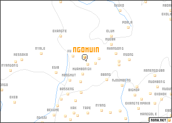
Ngomuin (Cameroon)Ngomuin is a town in Cameroon. An overview map of the region around Ngomuin is displayed below.
regional and 3d topo map of Ngomuin, Cameroon ::
Ngomuin airports ::
The nearest airport is BFX - Bafoussam, located 92.1 km north east of Ngomuin.
Other airports nearby include TKC - Tiko (107.2 km south west), DLA - Douala (108.1 km south), BPC - Bamenda (124.5 km north), FOM - Foumban Nkounja (134.0 km north east), Nearby towns ::
Manta (0.8km south east) //
Muydip (2.1km east) //
Muambong II (2.8km south) //
Muakam (2.9km east) //
Kumin (3.1km west) //
Muambong I (4.5km south) //
Mbogmut (5.4km south west) //
Abang (6.0km south east) //
Mueba (6.7km north east) //
Mwandong (6.7km east) //
Ngomboku (6.9km south) //
Edib (6.9km west) //
Moumékeng (7.1km east) //
Mwakoumel (7.2km east) //
Ekangte (7.8km north west) //
Elum (7.8km north east) //
Basseng (8.2km south west) //
Ngombombeng (8.8km south) //
Njoumbeng (9.4km south east) //
Mekedaku (9.8km south west) //
[all distances 'as the bird flies' and approximate] 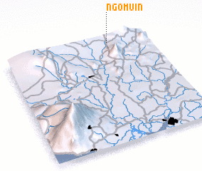 Places with similar names to Ngomuin, Cameroon ::
// Ngamin (MM)
// Ngomban (CM)
// Nowy Kamień (PL)
// Na Kamenu (BA)
// Nkambeni (ZA)
// Ngomani II (TD)
// Nekmaneo (ID)
// Ngambon (ID)
// Nikoman (MK)
// Ngombani (KE)
Disclaimer :: Information on this page comes without warranty of any kind |
||
|
Where is Ngomuin? Elevation and coordinates ::
Latitude (lat): 4°59'0"N Longitude (lon): 9°44'0"E
Elevation (approx.): 1194m (map arrows pan, magnifying glasses zoom) |
||
|
Visiting Ngomuin? Hotel/Accommodation ::
Book a hotel in Ngomuin Travel Guide ::
Buy a travel guide for Cameroon rental cars ::
car rental offers GPS waypoint ::
download a GPX waypoint (PoI) of Ngomuin for your GPS receiver
|
||