|
search place name
|
||
Simbakbé (Central African Republic)Simbakbé is a town in Central African Republic. An overview map of the region around Simbakbé is displayed below.
regional and 3d topo map of Simbakbé, Central African Republic ::

Nearby towns ::
Borobou (0.0km north) //
Mahamat (2.6km north west) //
Rafaï (2.6km north west) //
Oumara (2.6km north east) //
Sangouya (2.6km north east) //
Rafaï (3.7km west) //
Bagbola (3.7km north) //
Gounza (5.2km north west) //
Koursani (5.8km east) //
Agoumar (6.7km north west) //
Loungba (9.2km north west) //
Dramani (10.5km south west) //
[all distances 'as the bird flies' and approximate] 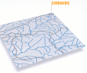 Places with similar names to Simbakbé, Central African Republic ::
// Sama Gaba (ET)
// Somekbe (GH)
// Somqibe (ZW)
// Sumacab (PH)
// Sumucab (PH)
// Xã Mộc Bài (VN)
// Xóm Cu (1) (VN)
// Xóm Cu Bó (VN)
// Xóm Gò (1) (VN)
// Smoky Bay (AU)
Disclaimer :: Information on this page comes without warranty of any kind |
||
|
Where is Simbakbé? Elevation and coordinates ::
Latitude (lat): 4°57'0"N Longitude (lon): 23°57'0"E
Elevation (approx.): 578m (map arrows pan, magnifying glasses zoom) |
||
|
Visiting Simbakbé? Hotel/Accommodation ::
Book a hotel in Simbakbé Travel Guide ::
rental cars ::
car rental offers GPS waypoint ::
download a GPX waypoint (PoI) of Simbakbé for your GPS receiver
|
||