|
search place name
|
||
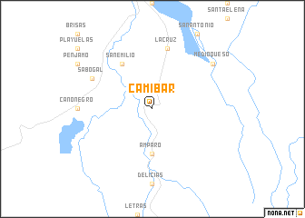
Camíbar (Alajuela, Costa Rica)Camíbar is a town in the Alajuela region of Costa Rica. An overview map of the region around Camíbar is displayed below.
regional and 3d topo map of Camíbar, Costa Rica ::
Camíbar airports ::
The nearest airport is LIR - Liberia Daniel Oduber Quiros Intl, located 98.4 km west of Camíbar.
Other airports nearby include SJO - San Jose Juan Santamaria Intl (113.7 km south east), NOB - Nosara Beach Nosara (146.0 km south west), BEF - Bluefields (157.4 km north east), XQP - Quepos La Managua (172.8 km south), Nearby towns ::
Amparo (5.6km south) //
San Emilio (6.6km north west) //
La Cruz (7.6km north) //
Sabogal (8.2km north west) //
Medio Queso (9.2km north east) //
[all distances 'as the bird flies' and approximate] 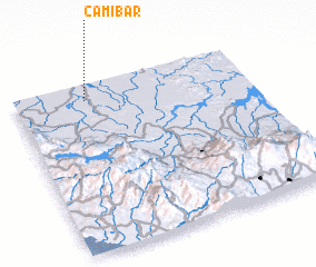 Places with similar names to Camíbar, Costa Rica ::
// Camíbar (CR)
// Kiamabara (KE)
// Comibar (MX)
// Koma Béri (NE)
// Gambi Bera (PK)
// Cumbibirá (PE)
// Kamabara (RW)
// Kamabu-ri (KP)
// Kombobari (PG)
// Kawm Abū Rayyah (EG)
Disclaimer :: Information on this page comes without warranty of any kind |
||
|
Where is Camíbar? Elevation and coordinates ::
Latitude (lat): 10°54'0"N Longitude (lon): 84°42'0"W
Elevation (approx.): 43m (map arrows pan, magnifying glasses zoom) |
||
|
Visiting Camíbar? Hotel/Accommodation ::
Book a hotel in Camíbar Travel Guide ::
Buy a travel guide for Costa Rica rental cars ::
car rental offers GPS waypoint ::
download a GPX waypoint (PoI) of Camíbar for your GPS receiver
|
||