|
search place name
|
||
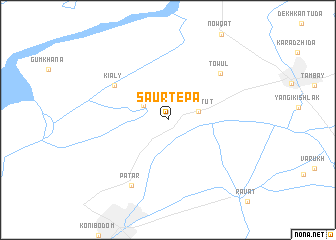
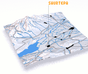
Saurtepa (Farg‘ona, Uzbekistan)Saurtepa is a town in the Farg‘ona region of Uzbekistan. An overview map of the region around Saurtepa is displayed below.
regional and 3d topo map of Saurtepa, Uzbekistan ::
Saurtepa airports ::
The nearest airport is TAS - Tashkent Yuzhny, located 139.4 km north west of Saurtepa.
Other airports nearby include CIT - Chimkent Shymkent (234.0 km north), DYU - Dushanbe (250.8 km south west), Nearby towns ::
 Places with similar names to Saurtepa, Uzbekistan ::
// Surdup (BA)
// Sarıtepe (TR)
// Şārī Tappah (IQ)
// Sarytepa (UZ)
// Zortepa (UZ)
// Sarydepe (TM)
// Sārī Tappeh (IR)
// Sārī Tappeh (IR)
// Sar Tāp (IR)
// Sar Tāp (IR)
Disclaimer :: Information on this page comes without warranty of any kind |
||
|
Where is Saurtepa? Elevation and coordinates ::
Latitude (lat): 40°23'56"N Longitude (lon): 70°29'12"E
Elevation (approx.): 387m (map arrows pan, magnifying glasses zoom) |
||
|
Visiting Saurtepa? Hotel/Accommodation ::
Book a hotel in Saurtepa Travel Guide ::
Buy a travel guide for Uzbekistan rental cars ::
car rental offers GPS waypoint ::
download a GPX waypoint (PoI) of Saurtepa for your GPS receiver
|
||