|
search place name
|
||
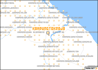
Kampung Tok Raja (Terengganu, Malaysia)Kampung Tok Raja is a town in the Terengganu region of Malaysia. An overview map of the region around Kampung Tok Raja is displayed below.
regional and 3d topo map of Kampung Tok Raja, Malaysia ::
Kampung Tok Raja airports ::
The nearest airport is KBR - Kota Bahru Sultan Ismail Petra, located 49.8 km north west of Kampung Tok Raja.
Other airports nearby include TGG - Kuala Terengganu Sultan Mahmud (79.2 km south east), NAW - Narathiwat (118.1 km north west), KTE - Kerteh (170.4 km south east), PAN - Pattani (186.8 km north west), Nearby towns ::
Kampung Dengir (0.0km north) //
Kampong Beris Pak Abu (1.9km north) //
Kampong Durian Bongkok (1.9km south) //
Jertih (1.9km south) //
Kampong Pengkalan Setol (1.9km south) //
Kampong Gong Tok Tar (1.8km east) //
Kampong Gong Darat Lapang (2.6km north west) //
Kampong Bukit Puteri (2.6km north east) //
Kampong Pak Abu (2.6km north west) //
Kampong Gong Lapang (2.6km north west) //
Kampong Jawek (2.6km south east) //
Kampong Nyior Tujoh (2.6km south east) //
Kampong Seberang Jerteh (2.6km south west) //
Kampong Berhala Tambun (2.6km south east) //
Alor Lintah (3.7km east) //
Alor Nibong (3.7km west) //
Kampong Gong Mak Som (3.7km east) //
Kampong Durian Merkah (3.7km east) //
Kampong Alor Badak (3.7km north) //
Kampong Tandok (3.7km south) //
Kampong Gong Kala (4.1km north west) //
Kampong Lubok Batu (4.1km north east) //
Kampong Pintu Gajah (4.1km north east) //
Kampong Amir (4.1km north east) //
Kampong Dalam Huma (4.1km north west) //
Kampong Pasir Merbau (4.1km north east) //
Kampong Sungai Tasek (4.1km north west) //
Kampong Gong Terap (4.1km south east) //
Kampong Baloh (4.1km south east) //
[all distances 'as the bird flies' and approximate] 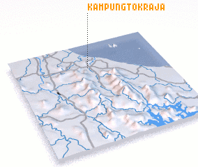 Places with similar names to Kampung Tok Raja, Malaysia :: Disclaimer :: Information on this page comes without warranty of any kind |
||
|
Where is Kampung Tok Raja? Elevation and coordinates ::
Latitude (lat): 5°46'0"N Longitude (lon): 102°30'0"E
Elevation (approx.): 11m (map arrows pan, magnifying glasses zoom) |
||
|
Visiting Kampung Tok Raja? Hotel/Accommodation ::
Book a hotel in Kampung Tok Raja Travel Guide ::
Buy a travel guide for Malaysia rental cars ::
car rental offers GPS waypoint ::
download a GPX waypoint (PoI) of Kampung Tok Raja for your GPS receiver
|
||