|
search place name
|
||
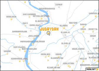
Judaydah (Şalāḩ ad Dīn, Iraq)Judaydah is a town in the Şalāḩ ad Dīn region of Iraq. An overview map of the region around Judaydah is displayed below.
regional and 3d topo map of Judaydah, Iraq ::
Nearby towns ::
Qaryat as Sindīyah (3.5km north west) //
‘Alī Bin Fayyāḑ (5.2km north west) //
Al Khāliş (5.0km east) //
Jamīl ‘Umrān (5.1km west) //
Kamāl Muḩyī (5.3km north west) //
‘Alīābād (5.3km north east) //
Ḩātim al Ḩaththāl (6.9km north) //
Imām Muḩammad Ibn al Ḩasan (6.2km south west) //
Sa‘dīyah (6.3km south west) //
Al Khāliş (6.5km south east) //
Ḩasan aş Şāliḩ (6.3km west) //
Jayzānī al Imām (7.8km south) //
Kamāl Beg (8.1km south) //
Hibhib (8.5km south) //
Bustān Ḩawījah (8.7km south west) //
Shaykh ‘Abbās (9.5km north west) //
[all distances 'as the bird flies' and approximate] 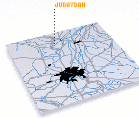 Places with similar names to Judaydah, Iraq ::
Disclaimer :: Information on this page comes without warranty of any kind |
||
|
Where is Judaydah? Elevation and coordinates ::
Latitude (lat): 33°51'12"N Longitude (lon): 44°28'6"E
Elevation (approx.): 46m (map arrows pan, magnifying glasses zoom) |
||
|
Visiting Judaydah? Hotel/Accommodation ::
Book a hotel in Judaydah Travel Guide ::
Buy a travel guide for Iraq rental cars ::
car rental offers GPS waypoint ::
download a GPX waypoint (PoI) of Judaydah for your GPS receiver
|
||