|
search place name
|
||
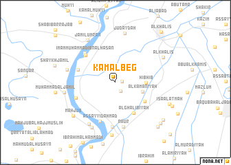
Kamāl Beg (Diyālá, Iraq)Kamāl Beg is a town in the Diyālá region of Iraq. An overview map of the region around Kamāl Beg is displayed below.
regional and 3d topo map of Kamāl Beg, Iraq ::
Nearby towns ::
Jayzānī al Imām (0.9km east) //
Sab‘ (1.5km south east) //
Al Kamanīyah (3.9km east) //
Hibhib (4.1km east) //
Al Luqmānīyah (5.0km south east) //
Al Ghālibīyah (5.6km south east) //
Bustān Ḩawījah (5.5km west) //
Sa‘dīyah (6.0km north west) //
As Sayyid Aḩmad (6.6km south) //
Imām Muḩammad Ibn al Ḩasan (6.3km north west) //
Al Manşūrīyah (5.9km south west) //
Marāsimah (7.2km south) //
Nā‘ūr (7.3km south) //
Aḩmad ‘Alī (7.6km south west) //
Judaydah (8.1km north) //
Mūsá Ja‘far (6.8km west) //
Muḩammad al Qāsim (7.9km south west) //
Jamīl ‘Umrān (7.9km north west) //
Abāyachi (7.1km west) //
Dukhaylā (8.6km south) //
Al Khāliş (7.6km north east) //
Maḩjūb (7.9km south west) //
‘Īsá al ‘Atmah (8.1km south east) //
Qaryat al Hāshimīyah (9.0km south east) //
Qaryat al ‘Abbārah (8.9km south east) //
Ayār al Kāz̧im (9.2km south east) //
Al Khāliş (10.3km north east) //
Murādīyah (11.2km south east) //
[all distances 'as the bird flies' and approximate]  Places with similar names to Kamāl Beg, Iraq ::
Disclaimer :: Information on this page comes without warranty of any kind |
||
|
Where is Kamāl Beg? Elevation and coordinates ::
Latitude (lat): 33°46'54"N Longitude (lon): 44°27'18"E
Elevation (approx.): 43m (map arrows pan, magnifying glasses zoom) |
||
|
Visiting Kamāl Beg? Hotel/Accommodation ::
Book a hotel in Kamāl Beg Travel Guide ::
Buy a travel guide for Iraq rental cars ::
car rental offers GPS waypoint ::
download a GPX waypoint (PoI) of Kamāl Beg for your GPS receiver
|
||