|
search place name
|
||
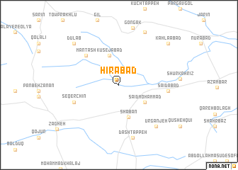
Hīrābād (Iran)Hīrābād is a town in Iran. An overview map of the region around Hīrābād is displayed below.
regional and 3d topo map of Hīrābād, Iran ::
Hīrābād airports ::
The nearest airport is SDG - Sanandaj, located 166.8 km south west of Hīrābād.
Other airports nearby include RAS - Rasht (181.0 km north east), RZR - Ramsar (213.0 km north east), KSH - Bakhtaran Shahid Ashrafi Esfahani (219.2 km south west), Nearby towns ::
Kūsejābād (4.8km north) //
Sa‘īd Moḩammad (4.3km south east) //
Sha‘bān (5.2km south) //
Manţash (6.3km north west) //
Ḩoseynābād (6.3km north west) //
Seqerchīn (6.4km south west) //
Sa‘īdābād (6.4km east) //
Dāsh Tappeh (8.5km south) //
Ūrganjeh (8.1km south east) //
Āq Bolāgh-e ‘Olyā (9.0km north) //
Dūlāb (8.7km north west) //
Kahlāābād (9.0km north east) //
[all distances 'as the bird flies' and approximate] 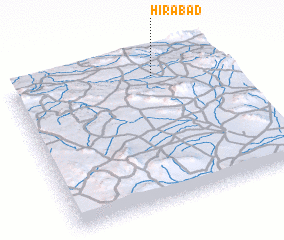 Places with similar names to Hīrābād, Iran ::
Disclaimer :: Information on this page comes without warranty of any kind |
||
|
Where is Hīrābād? Elevation and coordinates ::
Latitude (lat): 35°52'30"N Longitude (lon): 48°40'49"E
Elevation (approx.): 1816m (map arrows pan, magnifying glasses zoom) |
||
|
Visiting Hīrābād? Hotel/Accommodation ::
Book a hotel in Hīrābād Travel Guide ::
Buy a travel guide for Iran rental cars ::
car rental offers GPS waypoint ::
download a GPX waypoint (PoI) of Hīrābād for your GPS receiver
|
||