|
search place name
|
||
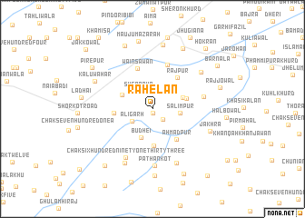
Rāhelān (Punjab, Pakistan)Rāhelān is a town in the Punjab region of Pakistan. An overview map of the region around Rāhelān is displayed below.
regional and 3d topo map of Rāhelān, Pakistan ::
Rāhelān airports ::
The nearest airport is LYP - Faisalabad Intl, located 89.9 km north east of Rāhelān.
Other airports nearby include MUX - Multan Intl (109.1 km south west), Nearby towns ::
Khīkha (0.5km south) //
Kotli (1.6km south east) //
Nūrpur (2.3km north) //
Sherāpur (2.6km north west) //
Aligarh (2.6km south west) //
Salīmpur (3.0km east) //
Budhei (3.7km south) //
Bachhriānwala (3.5km north east) //
Nawāda (3.6km north west) //
Hawās (3.8km east) //
Chak Three Hundred Twenty-three (4.5km south) //
Ahmadpur (4.5km south east) //
Khawāja Bāju (4.1km west) //
Rājpur (4.7km north east) //
Wains Awān (5.2km north) //
Māyūspur (5.6km north) //
Kāra Bāra (5.7km east) //
Chak Six Hundred Ninety-one-Thirty-three (6.6km south west) //
Pathān Kot (7.0km south) //
Kakka Pīr (7.1km south) //
Saidpur (7.3km south west) //
Bādlawāl (6.8km north east) //
Jākhra (6.7km south east) //
Kalu Wāhar (7.0km north west) //
Qādirābād (7.9km north) //
Chak Thirty-one (8.2km south) //
Phūlewāl (8.1km north east) //
Nawān Hoshiārpur (8.3km north) //
Mauju Mazārah (8.5km north) //
[all distances 'as the bird flies' and approximate]  Places with similar names to Rāhelān, Pakistan ::
Disclaimer :: Information on this page comes without warranty of any kind |
||
|
Where is Rāhelān? Elevation and coordinates ::
Latitude (lat): 30°47'15"N Longitude (lon): 72°20'0"E
Elevation (approx.): 153m (map arrows pan, magnifying glasses zoom) |
||
|
Visiting Rāhelān? Hotel/Accommodation ::
Book a hotel in Rāhelān Travel Guide ::
Buy a travel guide for Pakistan rental cars ::
car rental offers GPS waypoint ::
download a GPX waypoint (PoI) of Rāhelān for your GPS receiver
|
||