|
search place name
|
||
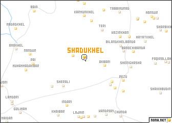
Shādu Khel (North-West Frontier, Pakistan)Shādu Khel is a town in the North-West Frontier region of Pakistan. An overview map of the region around Shādu Khel is displayed below.
regional and 3d topo map of Shādu Khel, Pakistan ::
Shādu Khel airports ::
The nearest airport is PZH - Zhob, located 158.7 km south west of Shādu Khel.
Other airports nearby include PEW - Peshawar Intl (197.9 km north east), Nearby towns ::
Malāgan (2.7km north west) //
Akbari (3.6km east) //
Sher Ali (6.7km south west) //
Dilli Khel (6.6km south east) //
Jogr Bānda (6.9km south east) //
Teri (7.5km north east) //
Biland Khel Bānda (7.2km north east) //
Karim Khān Bānda (7.3km east) //
Haibat (7.9km south east) //
Malla Khel (8.8km north) //
Drakki (8.3km south west) //
Pezu (8.1km south east) //
Wazīr Khān (8.3km north east) //
Ahmad Khān (9.5km south east) //
[all distances 'as the bird flies' and approximate] 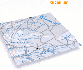 Places with similar names to Shādu Khel, Pakistan ::
// Shād Khāl (IR)
// Chewdai Khullah (PK)
// Chitta Khel (PK)
// Shādi Khel (PK)
// Shādi Khel (PK)
// Shādi Khel (PK)
// Shāti Khel (PK)
// Shātu Khel (PK)
// Shādi Khel (PK)
// Shitkhala (RU)
Disclaimer :: Information on this page comes without warranty of any kind |
||
|
Where is Shādu Khel? Elevation and coordinates ::
Latitude (lat): 32°21'36"N Longitude (lon): 70°39'39"E
Elevation (approx.): 308m (map arrows pan, magnifying glasses zoom) |
||
|
Visiting Shādu Khel? Hotel/Accommodation ::
Book a hotel in Shādu Khel Travel Guide ::
Buy a travel guide for Pakistan rental cars ::
car rental offers GPS waypoint ::
download a GPX waypoint (PoI) of Shādu Khel for your GPS receiver
|
||