|
search place name
|
||
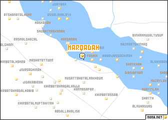
Marqadah (Ar Raqqah, Syria)Marqadah is a town in the Ar Raqqah region of Syria. An overview map of the region around Marqadah is displayed below.
regional and 3d topo map of Marqadah, Syria ::
Marqadah airports ::
The nearest airport is ALP - Aleppo Intl, located 88.7 km west of Marqadah.
Other airports nearby include GZT - Gaziantep Oguzeli (126.7 km north west), PMS - Palmyra (155.1 km south), Nearby towns ::
Fashīk (1.5km east) //
Shanhaşah (1.9km north) //
Abū Ḩasan (1.5km west) //
Ḩawāʼij al Kabīr (2.4km north east) //
Raddat aş Şaghīr (2.5km south east) //
Abū Zurayqīyah (3.0km east) //
Fukhaykhā (3.5km south east) //
Raddat al Kabīrah (3.5km north west) //
Musaţţaḩat al Makhrūm (4.9km south) //
Ḩardānah (4.6km north west) //
As Samūmah (4.8km north west) //
Khirbat Huwaydat Umm Ḩijārah (6.5km south west) //
Ḩawāʼij aş Şaghīrah (6.0km east) //
Ḩannā Şafar (7.4km south) //
‘Uzayzīyah (7.2km south west) //
Dibsī Faraj (7.1km south east) //
Khirbat Aḩmad al Ḩajjī (7.9km south west) //
Abū Maḩmūd Daḩḩām Ḩammād (8.5km south west) //
Shu‘bat Maskanah (8.2km north west) //
Khirbat aş Şa‘b (9.5km south east) //
Rasm Fālah (10.5km south west) //
[all distances 'as the bird flies' and approximate] 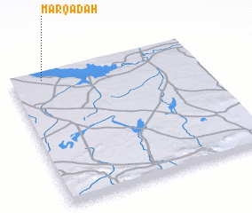 Places with similar names to Marqadah, Syria ::
Disclaimer :: Information on this page comes without warranty of any kind |
||
|
Where is Marqadah? Elevation and coordinates ::
Latitude (lat): 35°57'0"N Longitude (lon): 38°10'0"E
Elevation (approx.): 302m (map arrows pan, magnifying glasses zoom) |
||
|
Visiting Marqadah? Hotel/Accommodation ::
Book a hotel in Marqadah Travel Guide ::
Buy a travel guide for Syria rental cars ::
car rental offers GPS waypoint ::
download a GPX waypoint (PoI) of Marqadah for your GPS receiver
|
||