|
search place name
|
||
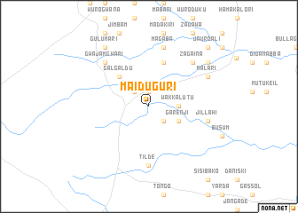
Maiduguri (Gongola, Nigeria)Maiduguri is a town in the Gongola region of Nigeria. An overview map of the region around Maiduguri is displayed below.
regional and 3d topo map of Maiduguri, Nigeria ::
Maiduguri airports ::
The nearest airport is YOL - Yola, located 208.7 km south east of Maiduguri.
Other airports nearby include MIU - Maiduguri (223.7 km north east), Nearby towns ::
Dingaya (1.9km north) //
Mamuda (2.6km north west) //
Saleri (2.6km south east) //
Wakkalutu (3.6km east) //
Garenji (4.1km south east) //
Galgaldu (5.2km north west) //
Abba Isari (5.9km north) //
Tilde (7.4km south) //
Bodor (7.4km south) //
Magaba (7.6km north) //
Jillahi (7.5km east) //
Gwajam Gwari (7.8km north west) //
Zagaina (7.8km north east) //
Malari (8.2km north east) //
Gulumari (9.2km north west) //
Sherifuri (9.2km north east) //
Jauro Ali (10.4km north east) //
[all distances 'as the bird flies' and approximate] 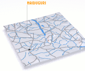 Places with similar names to Maiduguri, Nigeria ::
// Moetagare (ZA)
// Matukuroa (NZ)
// Mat'-Gora (RU)
// Mitkirey (RU)
// Māitkora (BD)
// Mutakura (BI)
// Mutukura (BI)
// Madogoré (TD)
// Maïdougouri (TD)
// Médékourou (TD)
Disclaimer :: Information on this page comes without warranty of any kind |
||
|
Where is Maiduguri? Elevation and coordinates ::
Latitude (lat): 10°48'0"N Longitude (lon): 11°20'0"E
Elevation (approx.): 380m (map arrows pan, magnifying glasses zoom) |
||
|
Visiting Maiduguri? Hotel/Accommodation ::
Book a hotel in Maiduguri Travel Guide ::
Buy a travel guide for Nigeria rental cars ::
car rental offers GPS waypoint ::
download a GPX waypoint (PoI) of Maiduguri for your GPS receiver
|
||