|
search place name
|
||
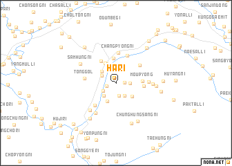
Ha-ri (Yanggang, Korea, North)Ha-ri is a town in the Yanggang region of Korea, North. An overview map of the region around Ha-ri is displayed below.
regional and 3d topo map of Ha-ri, Korea, North ::
Nearby towns ::
Sinjŏng-ni (1.1km east) //
Sinp'ung-ni (1.3km south west) //
Sinch'ang-ni (2.1km south) //
Sajŏng-ni (1.7km east) //
Ŏyŏl-li (2.1km south west) //
Yujŏng-ni (2.3km south east) //
Sinhŭng-ni (2.1km north west) //
Kubo-ri (2.6km south west) //
Hamjŏngp'o-ri (2.6km north west) //
Maeyang-gol (3.1km south) //
Amhoe-ri (3.3km north) //
Nŏltari-gol (3.0km south east) //
Oil-lodongjagu (3.4km north west) //
Sinsŏng-ni (4.0km north) //
Koran'gae (3.9km north west) //
Moup'yŏng (3.2km east) //
Chŏngnyong-gol (3.5km east) //
Taedong-nodongjagu (4.6km north) //
Chamdong-ni (4.1km north east) //
Ch'angp'yŏng-ni (4.9km north) //
Samil-lodongjagu (4.4km south west) //
Tong-gol (3.9km west) //
Chung-ni (4.0km east) //
Chungp'ohang-ni (5.5km south west) //
Chibang-dong (4.5km east) //
Sangp'ohang-ni (5.5km south west) //
Samhŭng-ni (5.3km north west) //
Yŏnp'ung-ni (4.9km east) //
Chunghŭngha-ri (6.8km south) //
[all distances 'as the bird flies' and approximate] 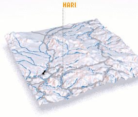 Places with similar names to Ha-ri, Korea, North ::
Disclaimer :: Information on this page comes without warranty of any kind |
||
|
Where is Ha-ri? Elevation and coordinates ::
Latitude (lat): 41°14'21"N Longitude (lon): 128°17'48"E
Elevation (approx.): 879m (map arrows pan, magnifying glasses zoom) |
||
|
Visiting Ha-ri? Hotel/Accommodation ::
Book a hotel in Ha-ri Travel Guide ::
rental cars ::
car rental offers GPS waypoint ::
download a GPX waypoint (PoI) of Ha-ri for your GPS receiver
|
||